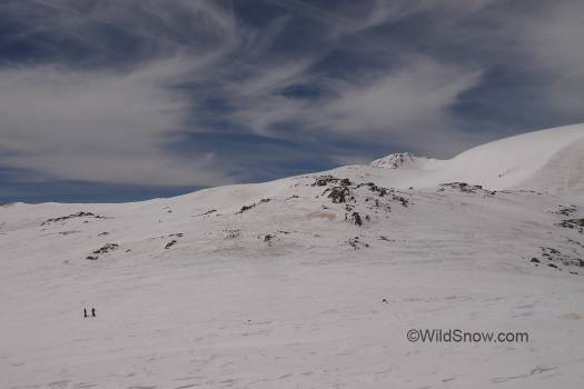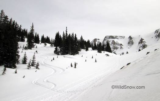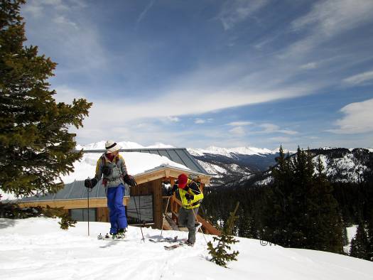
Leaving Opa’s Hut for our return to Ashcroft and the Aspen area. Mountains in the background are those rising from the Taylor Park area.
A few times every season I like to do long “out and back” tours in the Colorado mountains. Some of our huts make worthy destinations for such tours. The porch provides a dry place for sandwiches, or we’ll take tea with the guests. While we prefer such trips to have up-and-down that includes at least a few actual ski turns, sometimes arcs are secondary and we just want to see new country. In other words, go for a classic ski tour. Hence, while the route mostly covers terrain that’s too flat for turns, during March of last season we did the Express Creek slog to Opa’s hut just to “see the country and feel the breeze.”
(Opa’s is the newest hut in the Alfred Braun Hut System, located in the mountains between Crested Butte and Aspen, Colorado. You can get more details at huts.org and hutski.com)
While measuring only 6 miles in length with 2,700 vertical feet gain, the route to Opa’s via Express Creek and Little Italian Saddle felt longer than it should. I’m not sure why. Perhaps I was fit for up-down routes rather than relatively flat tours. I did use my lightest ski rig, Dynafit TLT6 boots with Cho Oyu skis and mohair skins. Even so, after a few hours I felt like the guy in that music video, stationary walking with the background crawling behind. The return leg was much easier, though slogging from the hut up to Little Italian saddle did not ignite my soul.
On the way in, when we got up into Italian Basin I’d had enough of the music video shuffle. So, in a moment of weakness for vertical I led up a snowmobile track that highmarked east up to the divide separating us from the Taylor drainage where Opa’s hut is. I’m glad we did that, because I can confidently say that ridge is mostly corniced. Finding a safe and facile way down the cornice face is not something most groups would be capable of. We could have done it, but instead continued on the highground for a scenic nip southerly along the ridge to regain the standard route that allowed us to check out the “downhill” part of the journey from Italian Saddle to the hut, which was important for an accurate take in case I did any guidebook writing about the route.
Before we get to the photo story, one other thing. The first part of this route goes to Markley Hut. If you’ve never been there you can easily bypass Markley by mistake and end up staying on the Express Creek Road far too long. Beyond Markley the route finding challenges continue, micro and macro. In my view, expert use of a GPS is mandatory for nearly all this route unless you’ve done it and committed to memory. What is more, a significant portion is above timberline and would be impossible to navigate in poor visibility unless you had a previously broken trail to follow and GPS for verification. Without a trail, GPS would be the only way you’d get there in a whiteout.

From parking at the "72 Hour Lot" on the Castle Creek Road, you ski down a few hundred feet to the well signed portal for Express Creek Road. Well signed is an understatement. Note the snowmobile track. Turned out we were on or crossing sled tracks nearly the whole way to the hut and back -- something I didn't expect as the terrain in this area is somewhat tough to access for snowmobilers. Shows how the machines have changed. I've got a lot of respect for riders that can boondock this kind of terrain, but it's an open question how well they can mix with the ski touring public as user numbers increase.
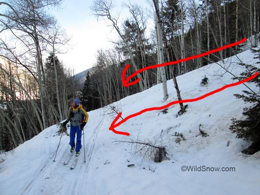
During extreme avalanche danger the lower portion of the approach trail is crossed by quite a few avalanches. Just a few days before our trip we’d had an incredible avalanche cycle. Judging from the size of uprooted trees it was something like a 30 or 40 year average event. Nearly every conceivable path ran full, some that upon first glance you’d never have thought could actually produce slides. Eye opening. Traveling after these cycles is incredibly important for avalanche education, and a valid reason you can’t become an avalanche “expert” in just a few seasons. Your career has to span enough years to see several of these sorts of cycles.
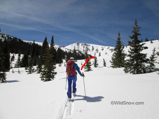
Once you turn from the main Express Creek drainage, you head into what’s informally called Little Italian Basin. It’s said someone named it that because it resembled the Dolomite. Sort of.
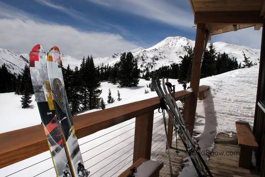
On the south deck, looking at Taylor Peak. Due to Colorado snowpack you’ll usually have to ski Taylor during spring consolidated snowpack, but it’s possible to get in winter if conditions are exceptional.
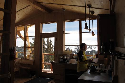
In the kitchen. We brewed up some strong coffee to assist with the return journey. The slog in took longer than I expected, but skiing out was fairly quick with much being a glide-out. Caveat would be that due to the predominantly lower angled route, if you got stormed in you’d be breaking trail “downhill” on quite a bit of the distance.
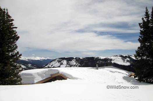
Important: When skiing in from the Aspen (north) side this is what you might sort of see of the hut. Even with a GPS I missed it by a few feet due to being lazy and thinking we’d see it as we got close.
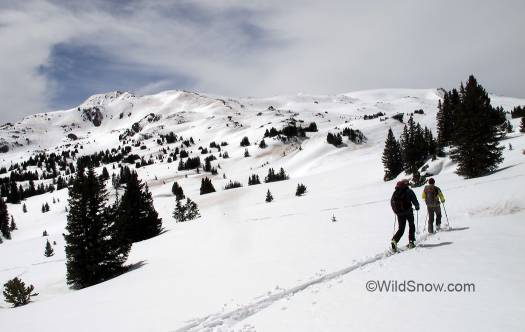
Heading up from the hut on return to Aschcroft, we’re still on the Crested Butte side of Italian Saddle.
WildSnow.com publisher emeritus and founder Lou (Louis Dawson) has a 50+ years career in climbing, backcountry skiing and ski mountaineering. He was the first person in history to ski down all 54 Colorado 14,000-foot peaks, has authored numerous books about about backcountry skiing, and has skied from the summit of Denali in Alaska, North America’s highest mountain.

