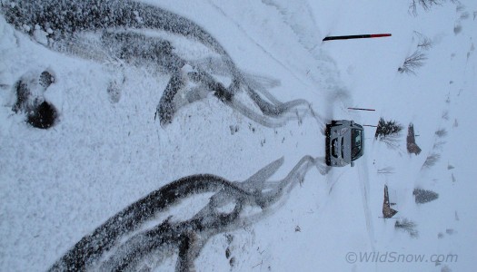
Hertz charged us more than 100 euros for snow tires. Will the rental car company rips ever end? Probably not. Meanwhile, when your tire tracks look like this and the sky looks like that, you'd better get out your GPS or hire a guide (or take the bus on this restricted road, whoops). Click most images to enlarge.
Locals suggested another Chur, Switzerland area moderate tour: Mattjisch Horn south of Fiderese Huberg (see map below). We would have liked something higher and farther, but nice to have this on the list for a morning when the rain reminded me of the shower I drenched myself with the night before.
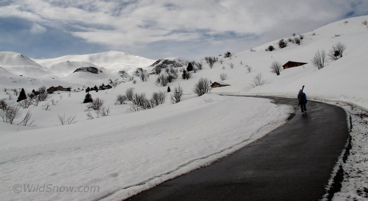
Verbotten! No, not the Mattjisch Horn visible (for about five minutes) to left. Actually, it was the road which was banned. Once we'd gotten the fake snow-tired car turned around and parked, and the tour done, the bus driver informed us we were on a restricted road. Somehow I was not surprised, considering on the return we had to shovel our way out with our avalanche spades. The hardcore looking Swiss bus driver was nice and didn't call the cops. Shew. One can only imagine getting your rental skateboard towed when you're a 2,000 vertical foot hike above the village.
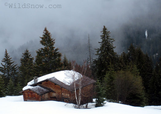
Anyhow, we drove the rad road up to parking just over a kilometer below a funky ski area consisting of surface lifts and some berg hotels that were not much more than glorified shacks, which we liked. Berghaus Arfina was the nicer of the two, Berghause Heuberge being a bit on the remodeled farmhouse side of the equation. Neither had functional internet, so nix. More on the i-net note: The only place we could find in Chur with decent internet is a bier halle in the old (and beautiful) part of the village. A bit noisy with the shouting Swiss guys and blaring American pop music, but whatever works. The brew was good, but I digress.
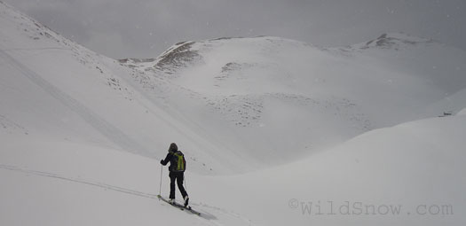
Heading up. GPS got us to this point, then the clouds lifted a bit. It\'s super interesting trying to GPS through a total whiteout. No brand works all that well, in my opinion. I'm using Garmin that shows a topo map, but still, it's not fine grained enough to really navigate safely in avy terrain. More, even after hours of practice I find it totally counter intuitive and weird to try and actually use the stupid thing, instead of staring at it on my desk at home. Perhaps some day I'll figure it out. My theory at this point is most GPS units are sold to mark fishing spots, or else to sit in some guy's gear closet. Correct me if I'm wrong.
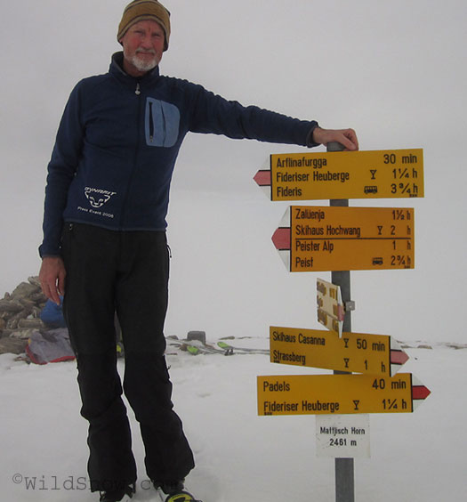
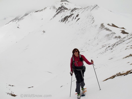
Happy GPS guy on top. Despite all the whining, the thing worked. And we made it down as well! Yeah, short tour but with the car hassles, whiteout and so forth, typical Euro challenge.
Shew. Let us hope the weather improves. Meanwhile, we head to Austria tomorrow. We’ll see what happens after that. Big plans in the works, but weather defines all (and it is said that in the mountains of Austria there may be powder at higher elevations during mornings this coming weekend. Now that would be interesting).
WildSnow.com publisher emeritus and founder Lou (Louis Dawson) has a 50+ years career in climbing, backcountry skiing and ski mountaineering. He was the first person in history to ski down all 54 Colorado 14,000-foot peaks, has authored numerous books about about backcountry skiing, and has skied from the summit of Denali in Alaska, North America’s highest mountain.

