Big thanks to onX Backcountry for sponsoring this post. Plan your spring multisport missions with 20% off your app subscription. Use the code WILDSNOW20 at checkout.
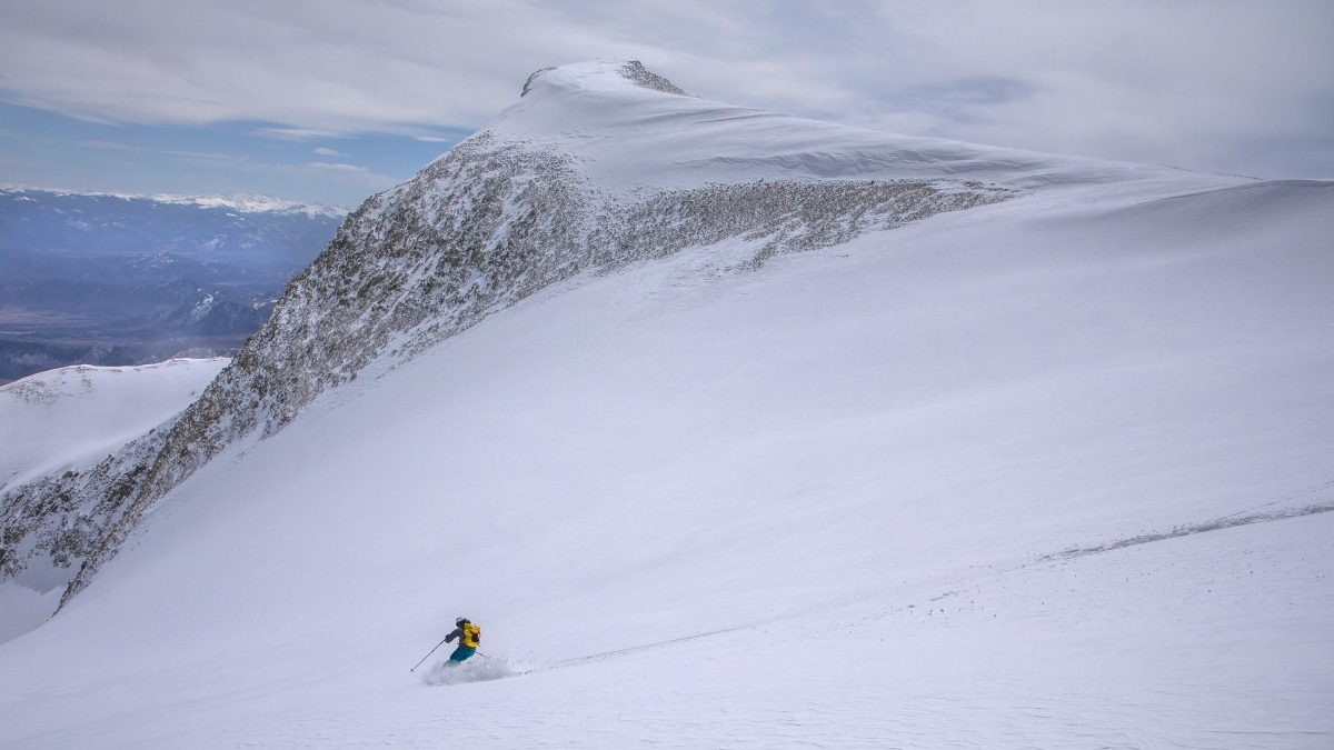
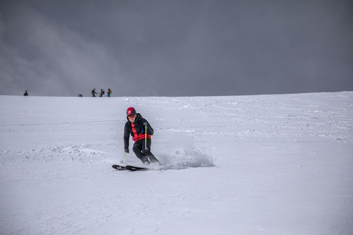
Ryan Fezler charges down Thomas Bowl. Tough to beat great weather, good snow and a solid crew. Photo: Hugh Carey
Few things are more satisfying than a successful bike to ski. This is especially true when the objective is a massive hunk of snow-slathered rocks that you gaze longingly upon everyday. So it is with Mt. Sopris, the gem of Carbondale, Colorado that rises nearly 7000 feet out of town and dominates every view.
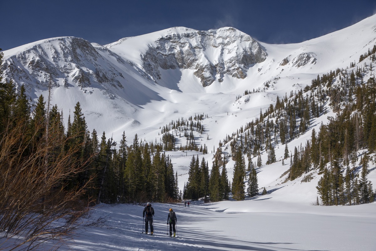
Each year, an informal cohort gathers in the Cripple Creek Backcountry parking lot for an annual bike to ski journey to the peak’s east summit. Riders start at dawn (or earlier, depending on overnight freeze and daytime forecast) and ride a mile and half of bike path to eight miles of gravel that climbs 2000 feet to the main Sopris trailhead. From there it’s about 4500 feet of skinning to the 12,993 foot summit to the peak, followed by a descent down Thomas Bowl, ski back to the trailhead and then bike descent on the winding single track network that leads to town.
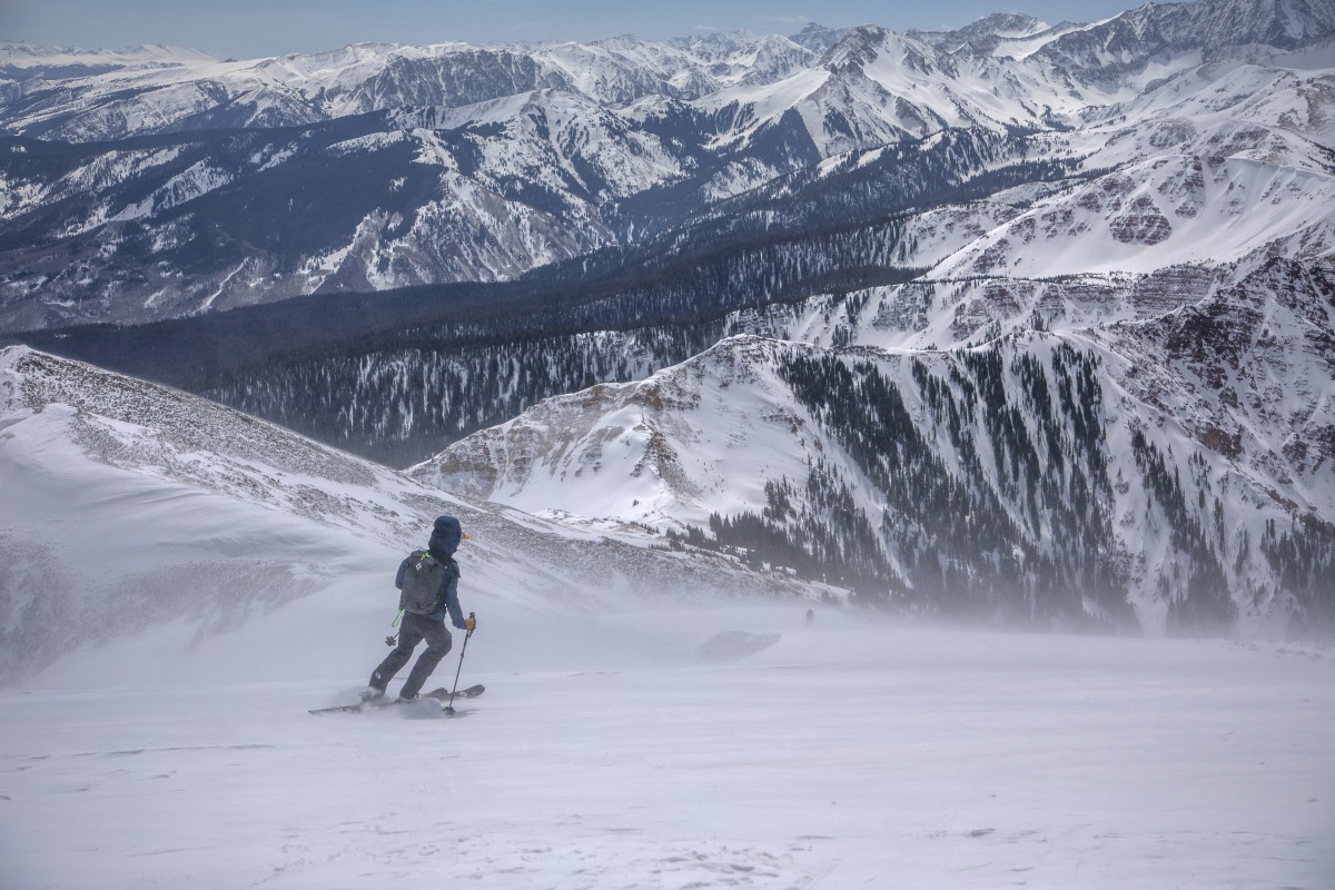
When I first joined the crew four springs ago, it was literally the hardest thing I’d ever done. Back then I didn’t even know it was physically possible to ascend and descend nearly 7000 feet on bike and skis over the course of some 32 miles. I’ve done it every year since, with no plans to stop. This year we had great conditions for riding and skiing, and only had to walk about a quarter mile in ski boots before putting skins on. The summit ridge was scoured with sandpaper wind gusts and the skiing in the bowl was chalky windboard with good corn farther below. All in all an excellent day out, and a quintessential spring multisport endeavor.
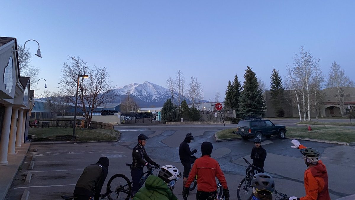
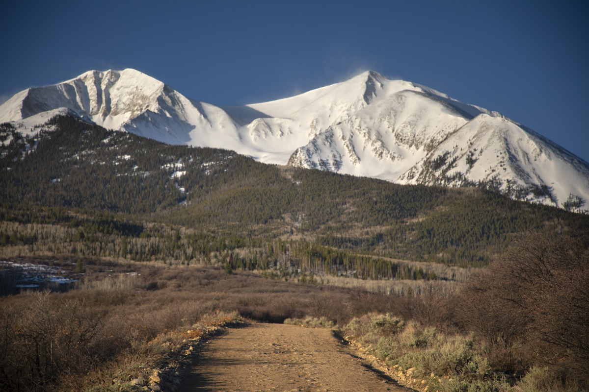
Mt. Sopris from the CCBC parking lot. Rising nearly 7000 feet above town, it’s not a small mountain!
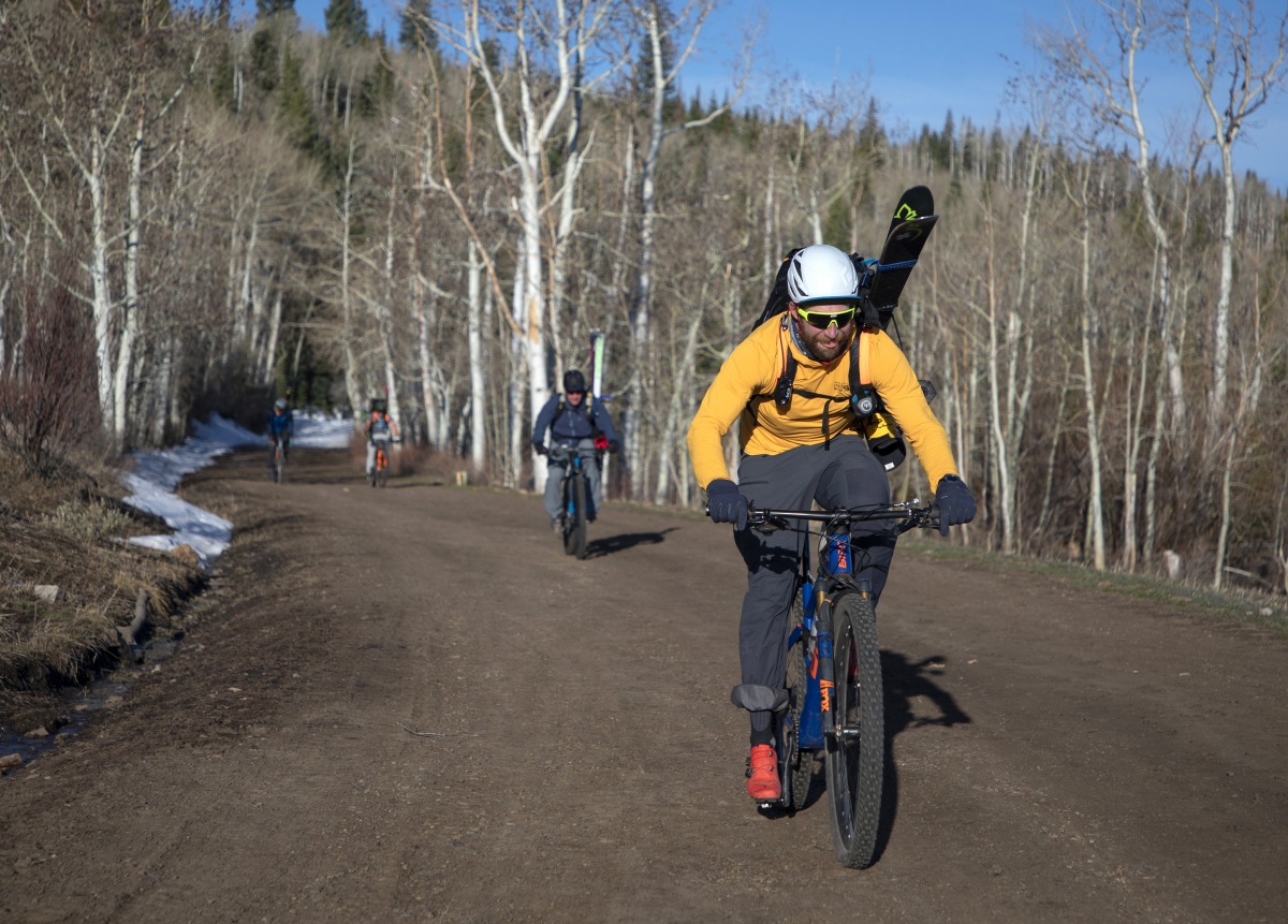
Jim Howarth approaching the summer trailhead. Most years, we’re able to get somebody to drive skis and boots up to the road closure and only need to carry all of the gear for the last couple of miles. Makes the day a little more doable, and also the single track finale more fun. Photo: Hugh Carey
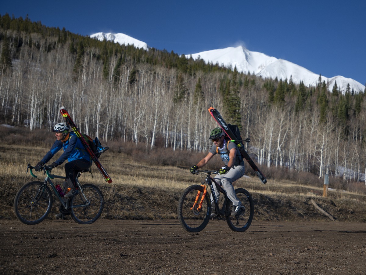
Doug and Buckey Schaeffer reach the summer trailhead. Sopris’s east summit is just peaking out on the left. Photo: Hugh Carey
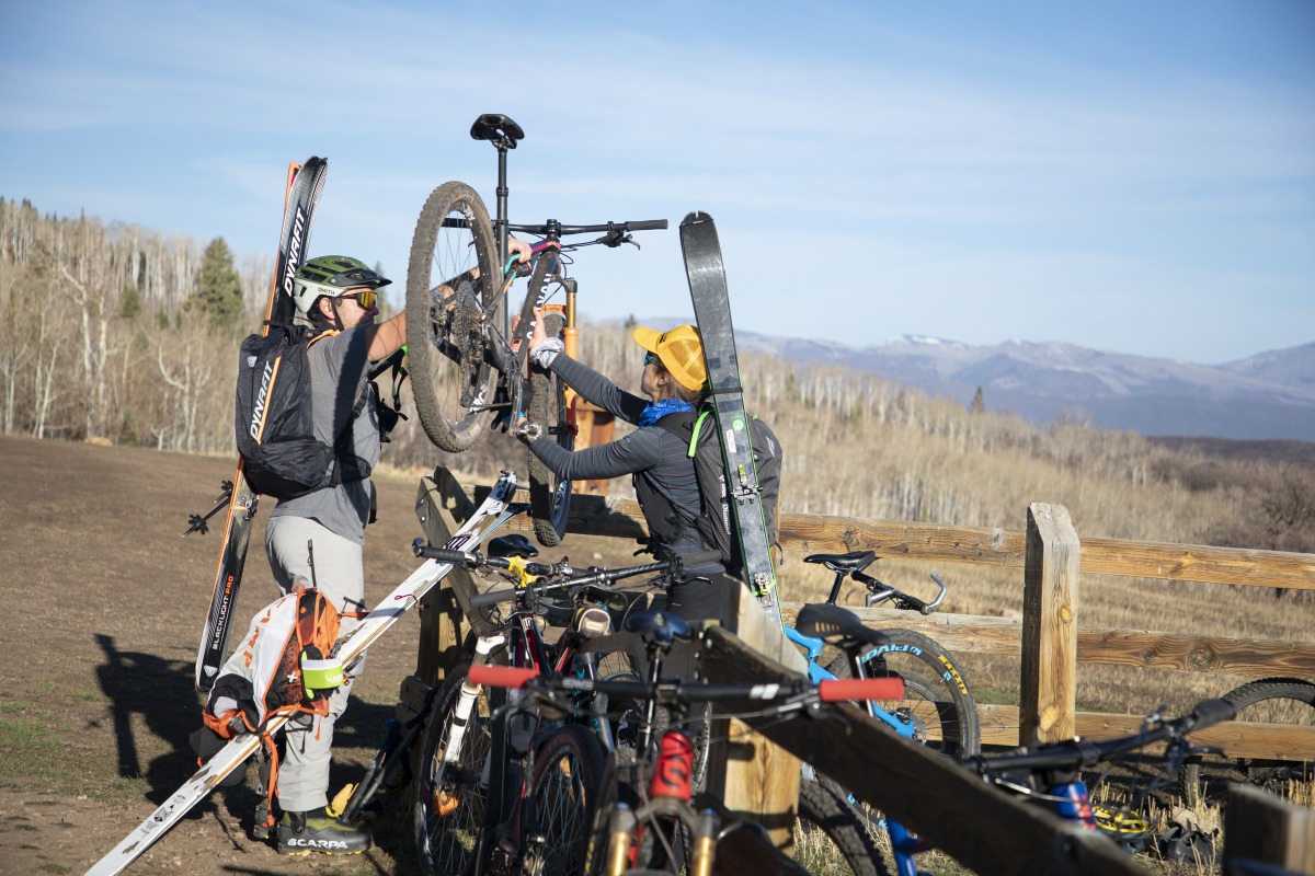
Doug hands me his bike for stashing. It was a busy Saturday on the mountain, and the parking lot turned into a good ol’ bike corral. Photo: Hugh Carey
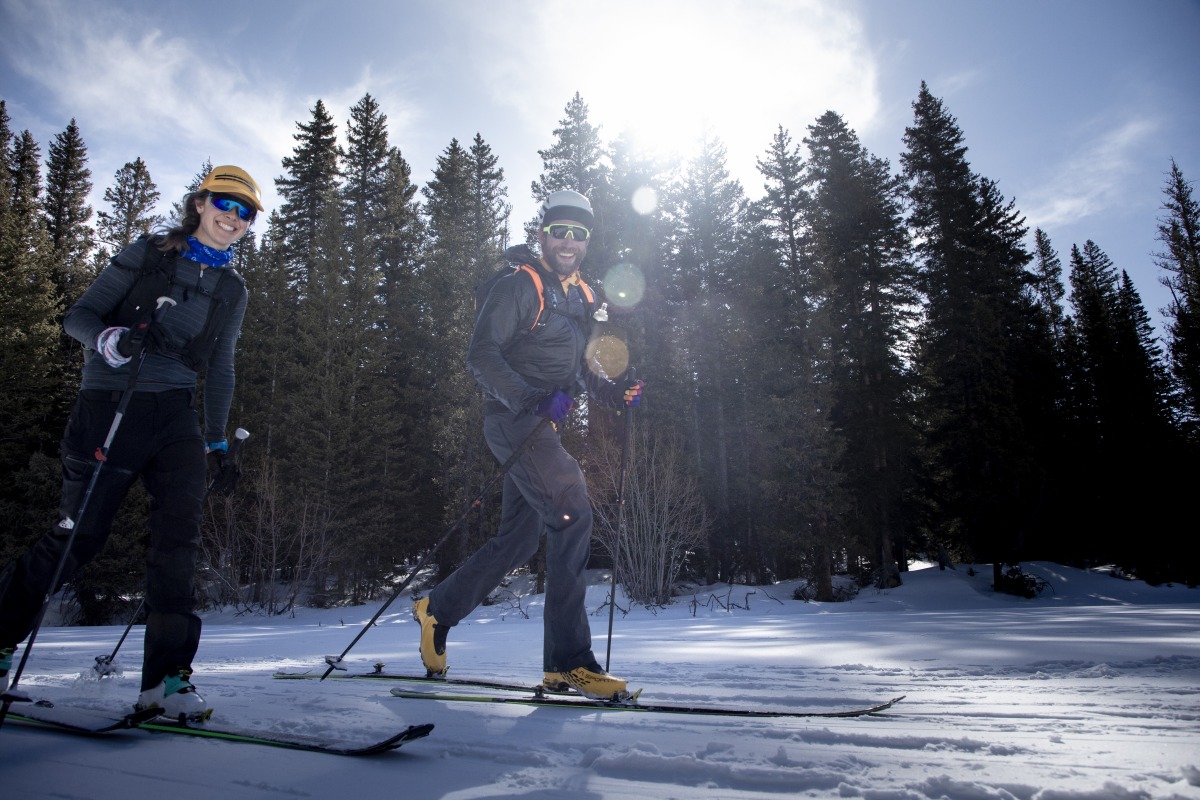
Jim and me cheesing. At this point we’re about 14 miles and 4000 feet into the day. Photo: Hugh Carey
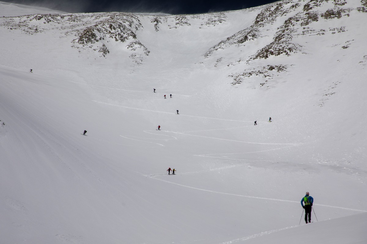
A spring Saturday on Sopris means you have a good chance of encountering all of your friends, and meeting some new ones. Photo: Hugh Carey
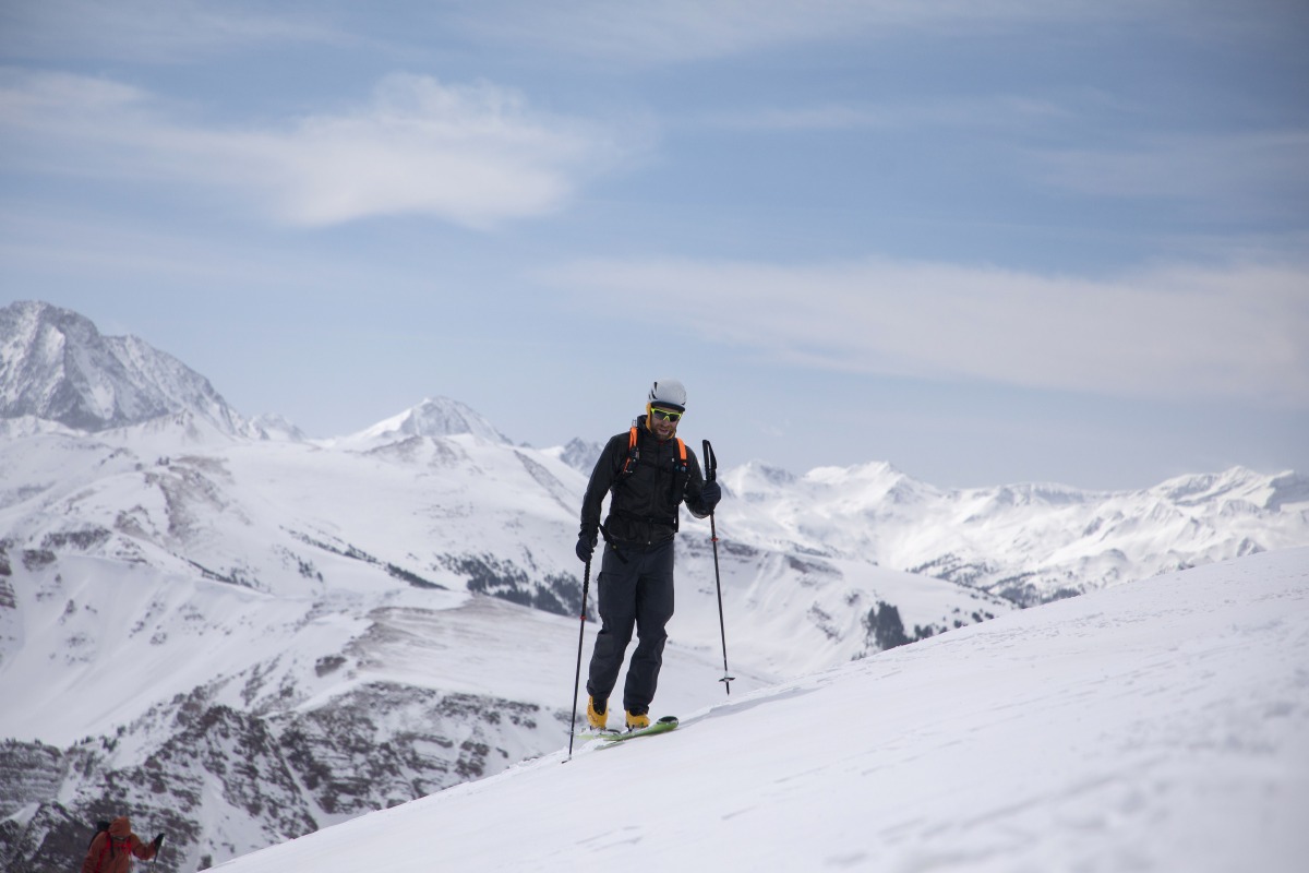
The summit ridge never fails to reward with excellent views of Capital Peak and the Elks beyond. Jim is psyched. Photo: Hugh Carey
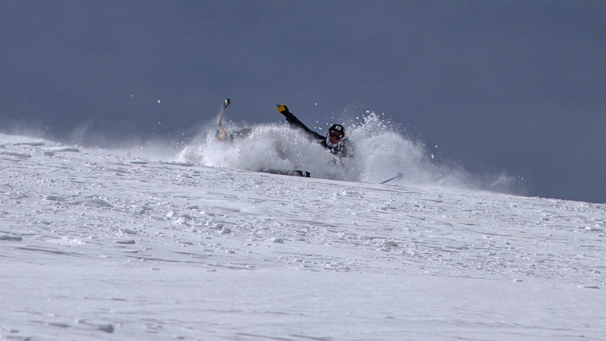
Race skis make the uphill effort easier, but snow conditions weren’t quite ideal for them. Randy Young — who had arrived from Michigan the day before and totally crushed the climb — came up smiling after this scuffle.
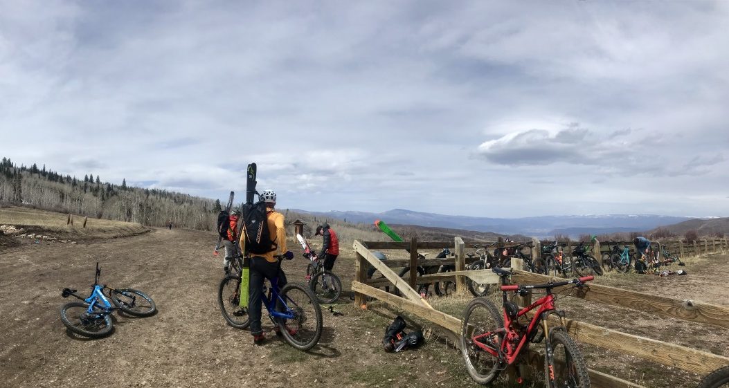
It was all downhill from there. Luckily we were able to stash our skis and packs in a friend’s truck and really enjoy the single track on Prince Creek.
Once we reached the summer parking lot again, we switched back into bike shoes and rode a few miles down the road to the winter closure gate. We stashed our skis, boots and packs in a friend’s truck and switched into mountain bike mode. A short single track climb brought us to a high point on an area called The Crown, where we then descended fast and flowy trails through oak brush and budding wildflowers. A few mechanicals were encountered — stuck dropper post, flat tire, someone got lost — but we all made it back to the shop around 2:30 pm. Final tally (with added single track) was 7600 feet of elevation gain and loss over 36 miles. What a day!
Manasseh Franklin is a writer, editor and big fan of walking uphill. She has an MFA in creative nonfiction and environment and natural resources from the University of Wyoming and especially enjoys writing about glaciers. Find her other work in Alpinist, Adventure Journal, Rock and Ice, Aspen Sojourner, AFAR, Trail Runner and Western Confluence.

