After an incredible few days skiing in Torres Del Paine, we rallied our sub-par and now famous “Pampistador” rental car on another lonely voyage through the pampas. We arrived in Bariloche a few days later, with a surplus of spare tires and no major mishaps.
In Bariloche we learned that warm, unstable weather prevailed; local conditions hadn’t improved much since we made a hasty, soggy retreat from Refugio Frey a few weeks before. Lou 2 was having similar weather on the volcanoes south of Santiago, so we decided to go north to the high Andes near Santiago. We had heard the Andes didn’t have much snow, but the weather forecast was optimistic (low wind, most importantly, but also for blue sky).
After a series of long bus rides (describing these would involve too many four letter words, so we’ll let that one be), we arrived back in Santiago. In the three days since we left Torres Del Paine we had traveled over 2,800 km, longer than the drive from Denver to Cabo San Lucas. We were ready to get off pavement and into the mountains.
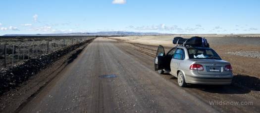
The pampas, once again! It’s cool to have driven “Ruta 40.” Once was most likely enough. Twice, however, is most definitely enough.
Cajon del Maipo is a deep mountain valley near Santiago that leads to several roads that stretch up to the winter snow. Also, no ski resorts. We try to avoid resorts. Things associated with resorts are more expensive, the snow gets tracked up, and where is the adventure? Unfortunately there’s no convenient bus service (the downside of not being near a resort) to the end of Cajon del Maipo so we rented another car. This time our ride was a larger Kia Sorento with a 4×4 badge proudly stuck to the back. After a long drive through Santiago (where we picked up His Blogness) and up the narrow road, we pulled into the small town of Baños Morales.
The next morning we woke to unstable weather. Despite obvious high winds, we decided to drive to the end of the road and check out the skiing. This part of Cajon del Maipo valley has been heavily used for various natural resources, with evidence of several old mines, at least one active mine, and an ongoing hydroelectric project. Although controversial and somewhat destructive, the industrial use does provide the small benefit of a maintained road to high elevations, even in the middle of winter.
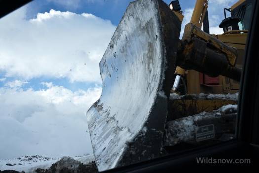
We ascended the narrow, muddy road, stopping several times for construction equipment to pass. Finally, we ended up in a line of vehicles behind a massive pile of mud and dirt. We rolled down the window. A safety orange suited Chilean informed us that they were “building the road,” but would be done in 10 minutes. We pulled off to the side, and allowed a massive D9 bulldozer to take the lead. True to their word, they shortly had a new road bulldozed (though true to the ethos of South America, it was more like 15 minutes). As proof about how clueless we were to what was going on with these roads, after the waiting we found snow closure to be just a few hundred feet past the work zone.
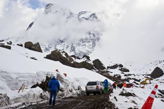
This Chilean road crew was fine with us driving through their construction site, and even made us a road. Not surprising in Chile, but probably wouldn’t happen in the United States.
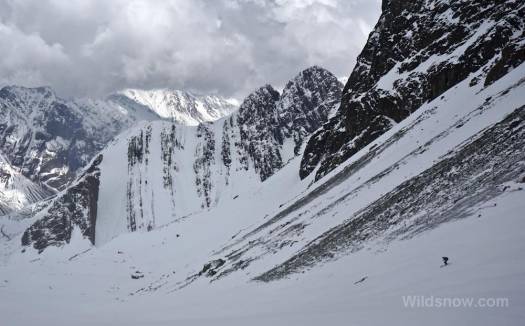
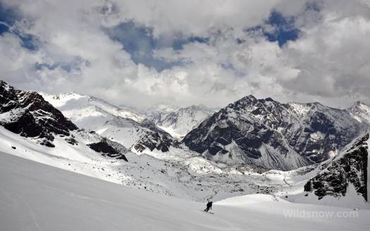
The weather was still cloudy and windy, so we simply headed up one of the many valleys that branch off from the area — an exploratory mission. The Maipo area is surrounded by impressively high peaks. According to our map, if we continued up the valley until it topped out we would be at over 5,000 meters (16,000 feet)! We stopped after a few hours, well before HAPE danger, and skied back down to the car. That evening we drove a bit toward Santiago and picked up Skyler and his girlfriend, Karina. Our group now numbered five, a respectable posse and a good way to keep costs down by sharing lodging and car rental charges.
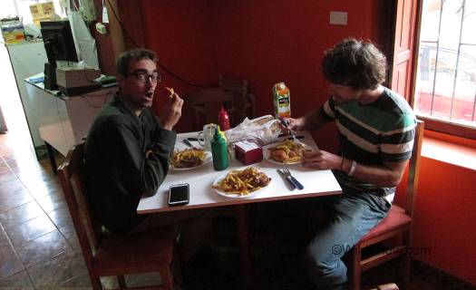
Enjoying a bit of pollo brasa in civilization, when we picked up Karina and Skyler. It’s an addiction and the fries are made the old fashioned way, in lard. They taste way better than Micky D, though you should be under 30 to partake.
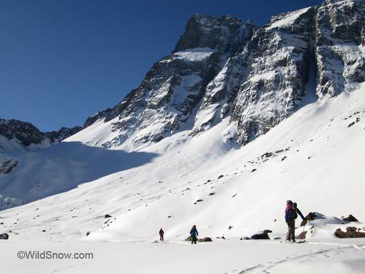
The next day we woke early to clear skies, including views of the impressive Volcan San Jose. Nearly as tall as Denali, San Jose is a massive, windswept behemoth at the head of the valley. The thing is so big you have a hard time believing what you are seeing. Again, it’s like you’re at camp on Denali. We decided to head up the same road as the day before, and enjoy the mountains under our new found clear skies.
The clear night had been cold; the road we had driven the day before was completely iced over. When our rear tires spun we confidently punched the 4×4 button on the dash, only to be stymied at the next patch of ice. When we got out and looked at the our spinning wheels, it became obvious that only the rear ones were turning. The shiny 4×4 badge was no more than a sticker. We parked the car about a kilometer below the trailhead and switched to our much more reliable skis.
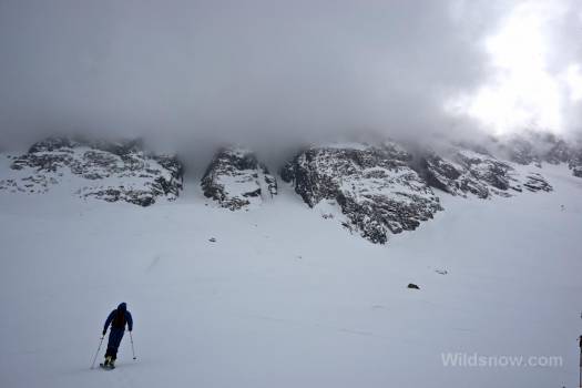
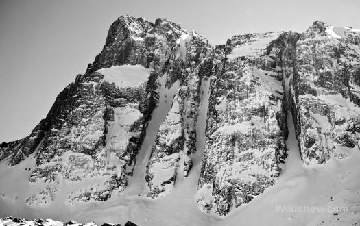
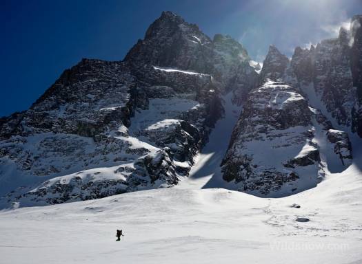
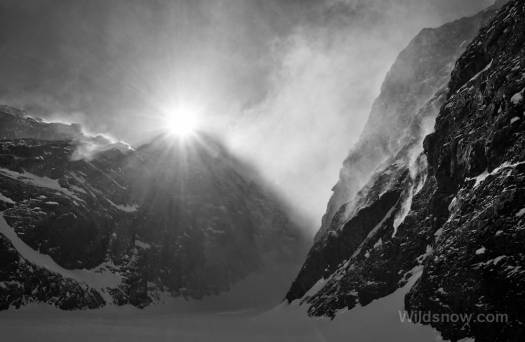
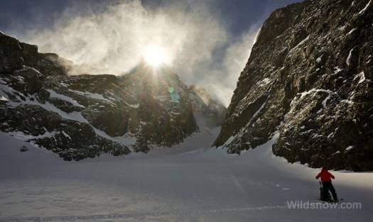
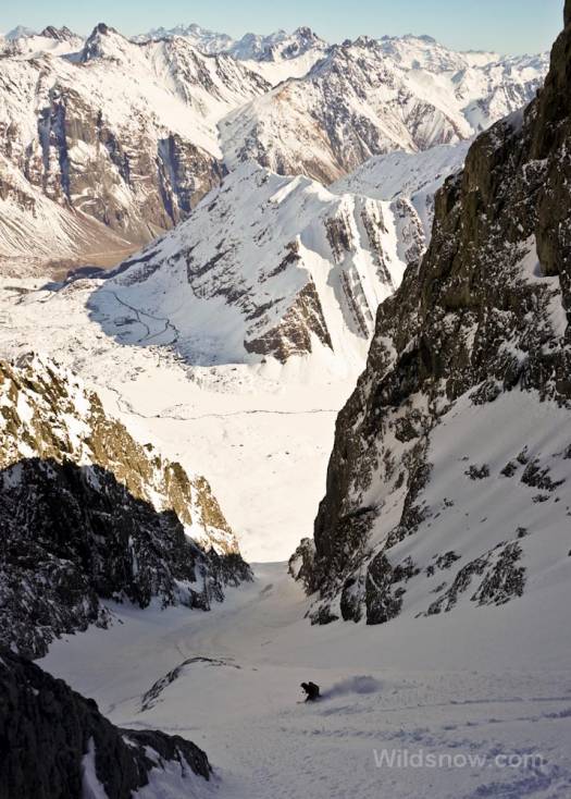
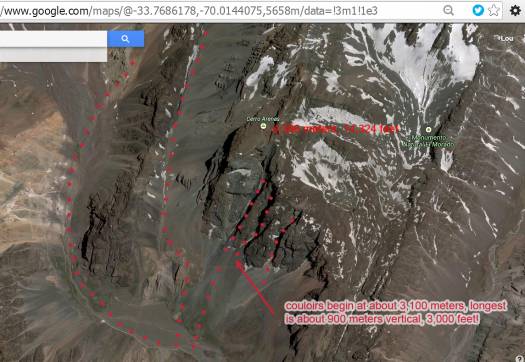
Cerro Arenas, a peak relatively near the parking lot, is also impressively high (14,324 feet!), and boasts several enticing couloirs on it’s southern slope. Although we could only see the bottoms of the chutes below the clouds the day before, I was intrigued. We resolved to go check them out. With the clear day they looked even better. However, they barely reached three quarters of the way to the top of the peak; we agreed to hike one, and hopefully have time for a 2nd, right next door. Three quarters of the way up Cerro Arenas? Trivial.
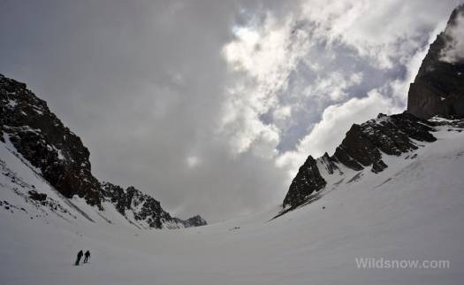
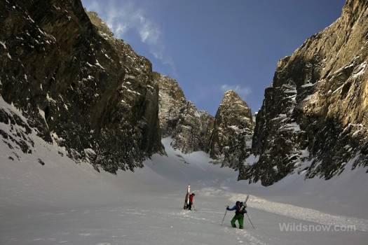
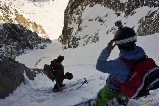
After an hour of skinning through ankle-deep pow (we’d figured 15 minutes), we reached the base of the chute. Lou 2 and Karina decided to take a few laps on the stellar slope we had just hiked, while Coop, Skyler and I continued up the couloir. After a few more switchbacks we dug a deep pit and evaluated the snowpack.
This being the high, dry Andes, I was concerned with finding a shallow continental snowpack. No such thing was in store. We dug a two meter deep pit, finding nothing but solid snow, and weren’t able to hit the ground with a three meter probe from the bottom of the pit. SOLID! Pleased but still intimidated by the sizable couloir above us (probably good we didn’t know it was 3,000 vert!), with a still mostly unknown snowpack, we continued up with skis on our backs, digging small hand-pits every so often.
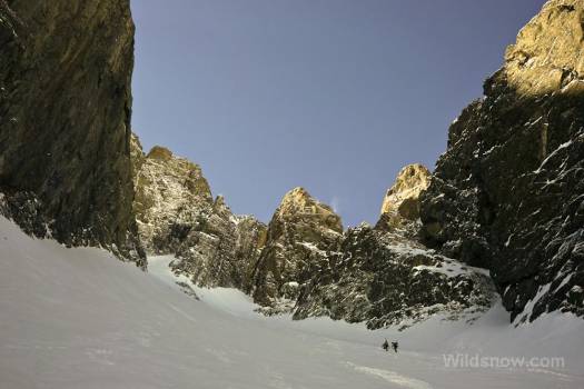
As with the slope below, we had severely underestimated the size of the chute. As we booted up, the bottom stretched further away — the top never got any closer. After more than three hours of heavy labor we were finally nearing the end. The snow continued to be perfect light pow, with a consistent increase in density as far as we could dig.
We stomped out a little platform to put on skis and prepared to head down. We didn’t know how much vert we had just ascended, only that it was substantial. What was obvious is we were looking at the best line and descent of our trip — if not of our lives.
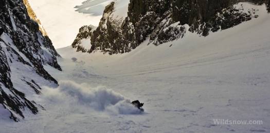
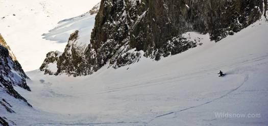
Light pow, a massive couloir, and astounding views over the Chilean Andes, the descent was incredible. Coop even said it was one of the best ever. We met at the base with burning legs, grand smiles, and all knew it was indeed one of the most exceptional runs of our South America trip. Coop checked his altimeter: the short looking chute turned out to be about 1,000 meters of vertical, with another 300 meters of apron powder below. Amazing.
In all, this culmination to our SA trip was so amazing I’m still pinching myself. As I sit here in Bellingham looking at my job prospects I’m thinking South American thoughts, sometimes in Spanish, and scheming how to return. Anyone know the latest Argentine street exchange rate? Oh, and about those other couloirs on Cerro Arenas? Yes, we did. Stay tuned for more.

Loading after a couloir day. Amazing the road got us up here, thanks to Chilean road guys!
GPS:
Banos Morales -33.82354,-70.06233
Cero Arenas summit -33.756133, -70.014100
Parking -33.79156, -70.022478
Louie Dawson earned his Bachelor Degree in Industrial Design from Western Washington University in 2014. When he’s not skiing Mount Baker or somewhere equally as snowy, he’s thinking about new products to make ski mountaineering more fun and safe.

