Big thanks to onX Backcountry for sponsoring this post. Plan your next ski traverse with 20% off your app subscription. Use the code WILDSNOW20 at checkout.
Ever since I got into backcountry skiing, I’ve wanted to do a ski traverse. For the first few years, I felt like I was never fit or experienced enough to make it happen; the goal was to have fun, not board the “struggle-bus”. I wanted to be able to enjoy the views and take in the magic of the Cascades, not be scared through it. This year I finally felt ready; Louie and I had been scheming some plans for a few months prior.
Originally we hoped to do a traverse around the Mount Maude area in the eastern North Cascades. Unfortunately, the road to access that trailhead hadn’t opened early enough this year so we had to pivot. I had read about the Isolation Traverse while doing research to ski Eldorado peak a few years ago. Just the name itself made it compelling – wanting to feel isolated from everyone and everything is something I long for from time to time.
We decided to do the route in three days over Memorial Day weekend. For route prep, we used Martin Volken’s “Backcountry Ski and Snowboard Routes in Washington” book.
For gear, we brought overnight supplies (tent, sleeping bag, pad), glacier gear (one rope for our 3 person team), water filter, jet boil stove, inReach, ski and boot crampons, ice axe and whippet. Due to recent snowfall we opted to bring our beacon, shovel, probe as well.
Like most traverses, this one requires a car shuttle. Our friend Peter was psyched to join us, and we met at Pyramid Lake Trailhead, 20 miles east of Marblemount on Highway 20. We snoozed until 5 am, got all our gear into one car and then drove towards Eldorado Trailhead on Cascade River road. This year, Cascade River road was gated about 2 miles before the Eldorado trailhead due to road washouts which added a few extra miles to our first day.
Day 1
It’s been an interesting spring in the PNW this year, with every weekend seeing significant precip up high in the mountains. Memorial day weekend was no exception, bringing two feet of snow in the Eldorado peak area. We were not sure if the traverse was going to work out, but decided to go for it, feeling we had various opportunities to bail if we had to.
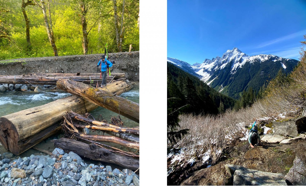
Left: Louie on the log crossing. Notice that his hip belt and chest strap are unclipped. When crossing rivers with a heavy pack, this technique is good practice in case you were to fall in to easily discard your pack.
Right: Wet climb in the boulder field above Eldorado trailhead, Johannesburg seen in the distance.
The infamous log crossing from the road to the Eldorado climbers trail seemed more straightforward this year than in the past, and we quickly gained elevation towards the end of the tree line. Half of the boulder field was already melted out, making for some exciting boulder hopping and a small, wet V0 boulder problem to gain the snow line. Not knowing if we’d have running water as we got higher, we found a stream and thoroughly hydrated before continuing to head up.
With skis on our feet, we gained the divide between Eldorado and Roush Creek drainages relatively quickly. Keeping alert, we could tell that the area did indeed get quite a bit of snow the day before, but it was already starting to settle. The sun had thoroughly baked the top 2 inches. We didn’t see much wet loose natural activity, but were able to start small wet slides on steeper rolls. Looking for a gully to descend down to Roush Creek proved to be tricky until we realized that we had ascended too far up. Here is a helpful waypoint that marks the top of this very short descent.The gully is on the steeper side and a bit narrow but easy to sideslip or down climb if you are not feeling it.
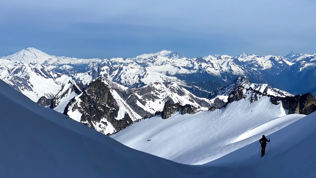
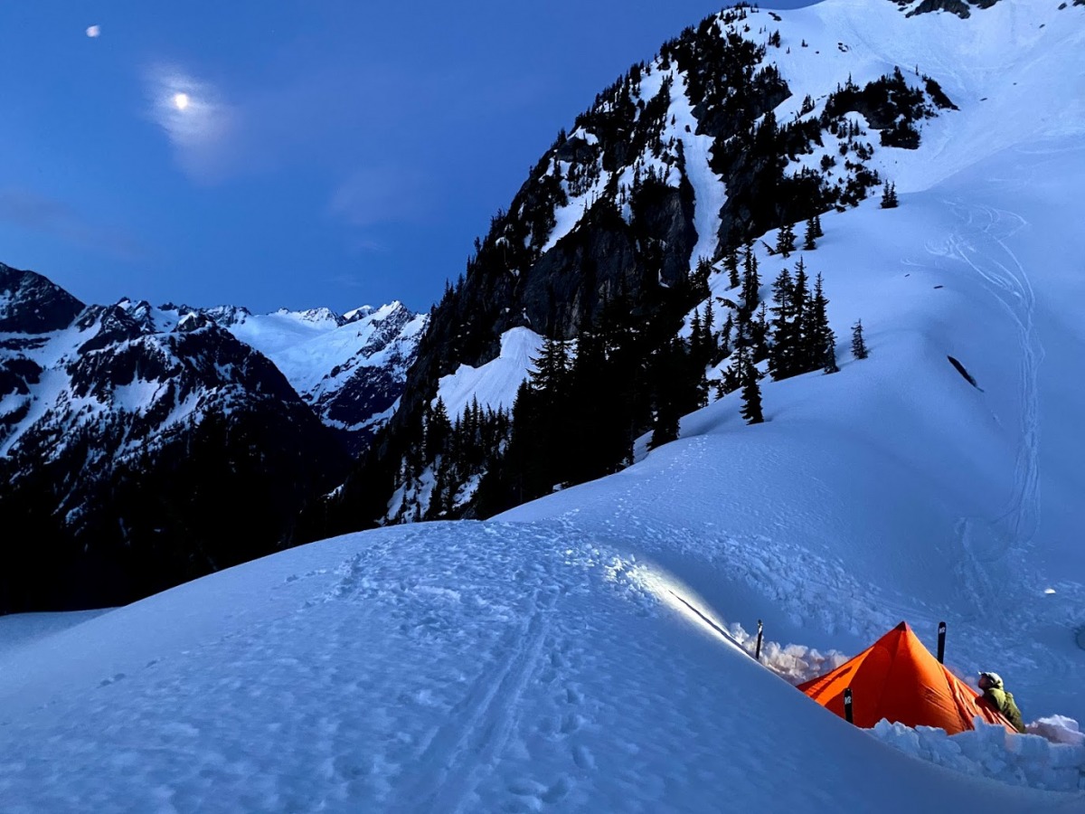
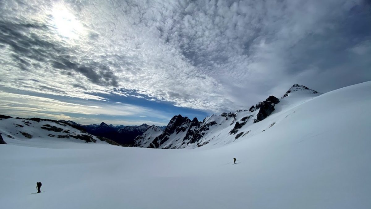
The skin up Eldorado Glacier felt like the Sahara; there was no sign of wind and the sun pounded down on us. The Eldorado Glacier greeted us with a breeze which felt amazing; we settled for a bit to eat some lunch. Putting our harnesses on, we continued onto the Inspiration Glacier which showed no signs of crevasses, likely due to the late season snow we have been getting. Reaching the col among the Tepeh Towers, with a glimpse of the McAllister Glacier we settled in for our first night. We joined another group near a rock outcropping which allowed for some comfortable lounging and gear drying. The views from this col are insane in both directions; infinite skiing potential. Plus you get a good view of some of the traverse terrain that is ahead.
On the evening of our first day, we were unsure if we were going to continue. We were concerned that the colder temps overnight would create a mega breakable crust on the new snow, and heinous survival skiing. We crossed our fingers and went to bed.
Day 2
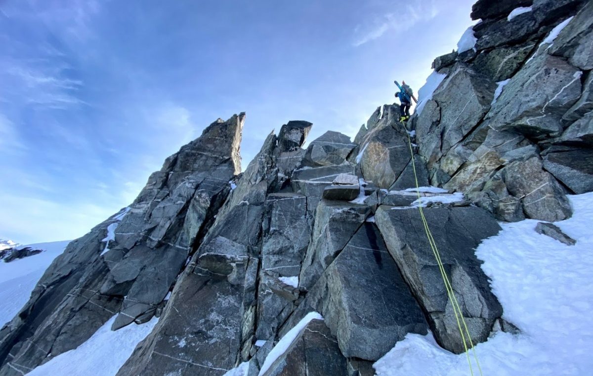
We woke up at 5am to assess the snow conditions and decided we would continue. There was a group ahead of us that had started their way across the McAllister Glacier, headed toward the col near Point 8041. We opted for the lower col option; the snow on the east side was already baking in the sun at 6:30 am. Realistically, we should have been there earlier – a useful tip for next time. The climb up to the col was steep snow, with room for only one person at the top. Louie headed up first and set up the rappel, there was an anchor set up already that was solid. Once Louie was rappelling I climbed to the top of the col – the last few steps were a bit challenging for me with a heavy pack. There was some extra cordelette available so I tied into it for the two steps I was nervous about. As I completed the ascent, I knocked off a chunk of snow. Peter was aware of potential hazards and didn’t stay right below, avoiding being hit. The rappel was straightforward, plus Louie gave us a solid firemens belay. I still opted to have a third hand set up while rappelling.
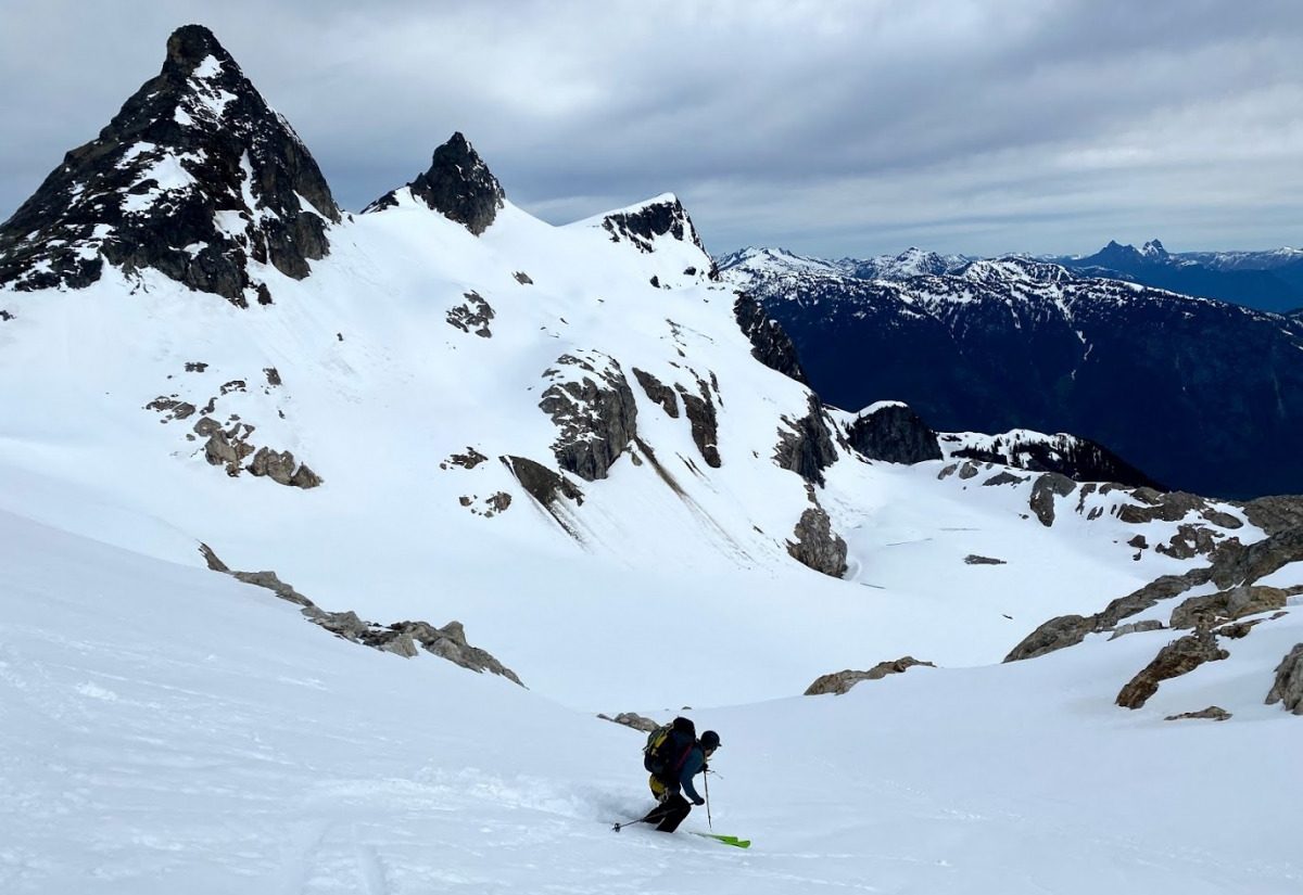
Once done with the rappel, we embarked on an “unforgettable descending traverse” as Forest, the author of the Isolation traverse section, describes in Martin’s book. The views really are spectacular. We could see the Lost Marbles and Kumquat couloirs across the valley. This side of the mountain was quite firm still, thankfully with no breakable crust, which made the slight descent quite enjoyable. At one point we descended a bit too far and booted up about 100 feet to gain some elevation back. We then ascended the southwest ridge of The Coccyx, and kept our skins on to continue to traverse toward the entrance of the Ice-elation Couloir.
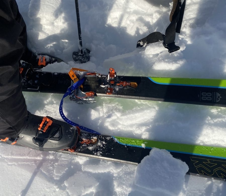
When you forget that your skis don’t have the right crampon attachment – improvise a.k.a voile strap use number 127.
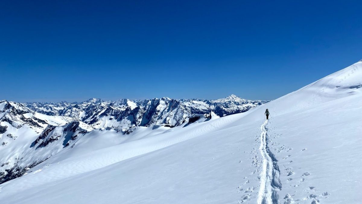
Ice-elation Couloir is a fun line indeed; unfortunately, by the time we skied down, around 10 am, it was mainly mashed potatoes. My legs were screaming, especially on the lower section of the couloir, and I was really feeling the overnight pack. At the bottom, we found running water and stopped for a well deserved break. The party in front of us put up a very nice skin track (thank you!) which made climbing northeast to the next col easier besides it feeling incredibly hot, with the sun’s rays beating us down. Once on the col, we could feel a slight breeze and see Isolation Peak in the distance. When looking at Isolation from afar, we couldn’t quite spot our ascent route yet. Isolation was quite melted out and looked incredibly steep from our perspective. Concerned about snow conditions, we discussed that it may make sense to camp in the basin below the climb in case things didn’t work out in our favor.
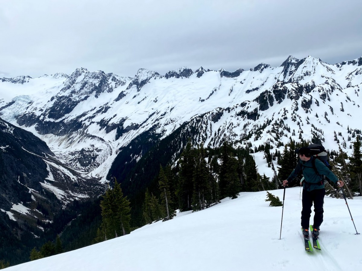
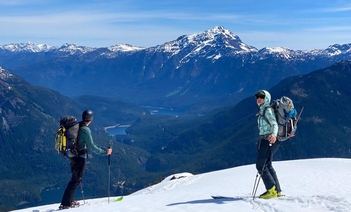
Midway up Isolation peak, Peter looking back at all the terrain we have covered so far. Just in the right portion of the photo, Ice-elation couloir, as well as the col we climbed out of after can be spotted.
We descended towards Wilcox Lakes, staying high skiers right of the lake and began our ascent towards Isolation peak. On our descent we spotted tracks that resembled a snowshoer but agreed that they were most likely bear tracks. We stayed lookers’ right on the ridge near the open steep face leading to the top of Isolation peak (called Point 7102 on the map), gaining the ridge as high as we could until traversing right towards a patch of dirt. Some clouds had rolled in by the afternoon, which cooled things down significantly, and helped us feel like continuing. We climbed up about 200-300 feet mostly on dirt to the southeast ridge, passing a cozy rock bivy spot. From there we skied down a steeper slope heading east, then rounded up north to ski down to a lake with no name on any of the maps I own. (I’m tempted to call it Isolation Lake?) The slopes heading down to the lake were quite steep and had evidence of wet slide/shed activity. We skied one at a time with no problems, but I can’t say that the skiing was enjoyable.
The lake had a partially melted out spot, with access to fresh water. We decided to set up camp near it, enjoying the beautiful views all around us. It wouldn’t be a true PNW adventure without a few drops of rain – mother nature threatened us with some moody clouds and a few drops that afternoon, but never fully delivered. It really was a treat to have sun to dry out gear at the end of a long day, even with a few clouds. We had a few hours to kill, which felt needed. I settled in to read before cooking dinner while the boys spent a long time building the perfect platform for our tent.
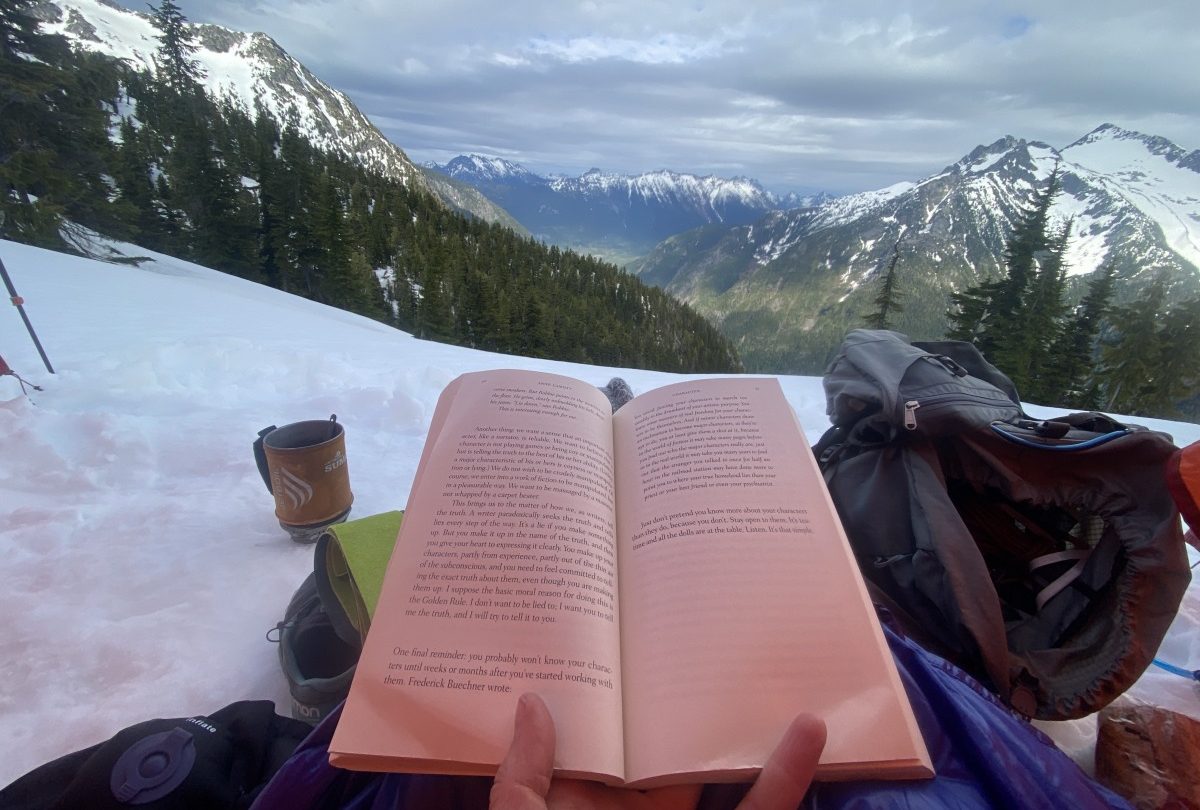
Louie made fun of me for bringing an actual book with me on this traverse, but I really enjoyed reading to wind down our second big day.
Day 3
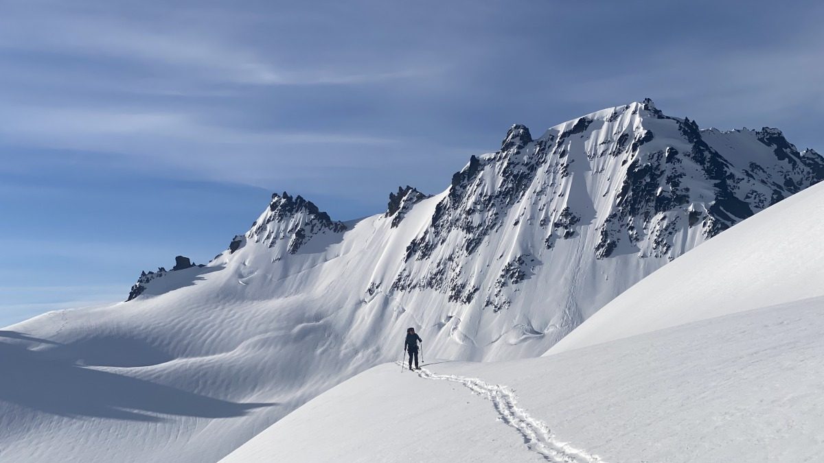
Knowing that we had steep terrain to cross at the end of the traverse, we decided to start a bit earlier on the last day. We were up and moving by 5 am, gaining the ridge that connects Isolation and Snowfield peaks. Ski crampons were very useful here and I was happy to have brought them. Once in the basin on the southwest side of Snowfield, we contoured above the cliffs, keeping skins on for the first few hundred feet. We then chose to briefly rip skins and do a downwards traverse towards a flatter section below one of the smaller rock bands. It would have been possible to complete this traverse without ripping skins, but given the early morning icy conditions and the exposure, it felt good to just ski through this section. From there, we put skins back on and ascended towards the col between Horseman and Snowfield Peaks.
Louie was hopeful we could climb and ski Snowfield, but conditions didn’t seem right for it. Snowfield was more melted out than we expected, plus the snow was variable to say the least. We decided we’d have to come back another time. We skied on the Neve glacier, enjoying perfect corn all the way down. There weren’t any big cracks or crevasses to negotiate until the very end, making it a really enjoyable ski. Next we booted up to the col due west of Point 7505, arriving at what looked like a nice camp spot, with running water nearby.
We knew that the traverse from Colonial Glacier under the east face of Pyramid Peak was the crux of the tour. We could see that there was some debris present on the traverse already, with a few roller balls coming down here and there. We negotiated this section one at a time; the full route wasn’t visible until we were on top of the small debris pile which made it hard to see objective hazard coming from above. We moved quickly and efficiently through this section with no problems, but this was some scary terrain. If we did decide to ski Snowfield after all, we would have been too late to cross this section, possibly leaving us on the glacier for another night (which would not have been ideal, but we were indeed prepared for this). This is an important section to plan for ahead of time.
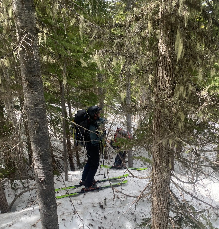
Once past the exposed traverse, done with most of the technical terrain of the tour, we followed the ridge down in search of the climbers trail. We were able to mostly keep skis on our feet until we reached an elevation of about 4500 feet. I knew this section was going to be heinous, given the usual PNW spring de-proaches. Most of the trip reports I had read alluded to this, but didn’t spend too much time talking about just how awful it is. The terrain had tight trees, melted out and off camber tree wells, exposed rock, logs, you name it. I brought the ice axe on the trip and only used it to descend a short steep pitch in the trees. I won’t lie, I felt tired and defeated through this section. As the guide book warned, we got pushed a bit below the ridge which made for challenging skiing, side stepping, slipping, getting smashed by tree branches. It felt tempting to continue trending down, but I am glad we opted to stay as high as we could.
I am not usually a crier, especially not during ski adventures, but knowing that we still needed to descend 3000 feet of similar terrain to the lake where the maintained trail started, I couldn’t hold back the tears of frustration. Shortly after my mini breakdown, we actually reached a climbers trail – it was steep and bushy, but got progressively better as we continued to lose elevation. We decided to not put skis on our packs and use them to help balance on the steeper descent section. This descent took a long time. All of us thought that once we’d finished the snow portion of the traverse, we only had a few hours to go to the car. We were wrong.
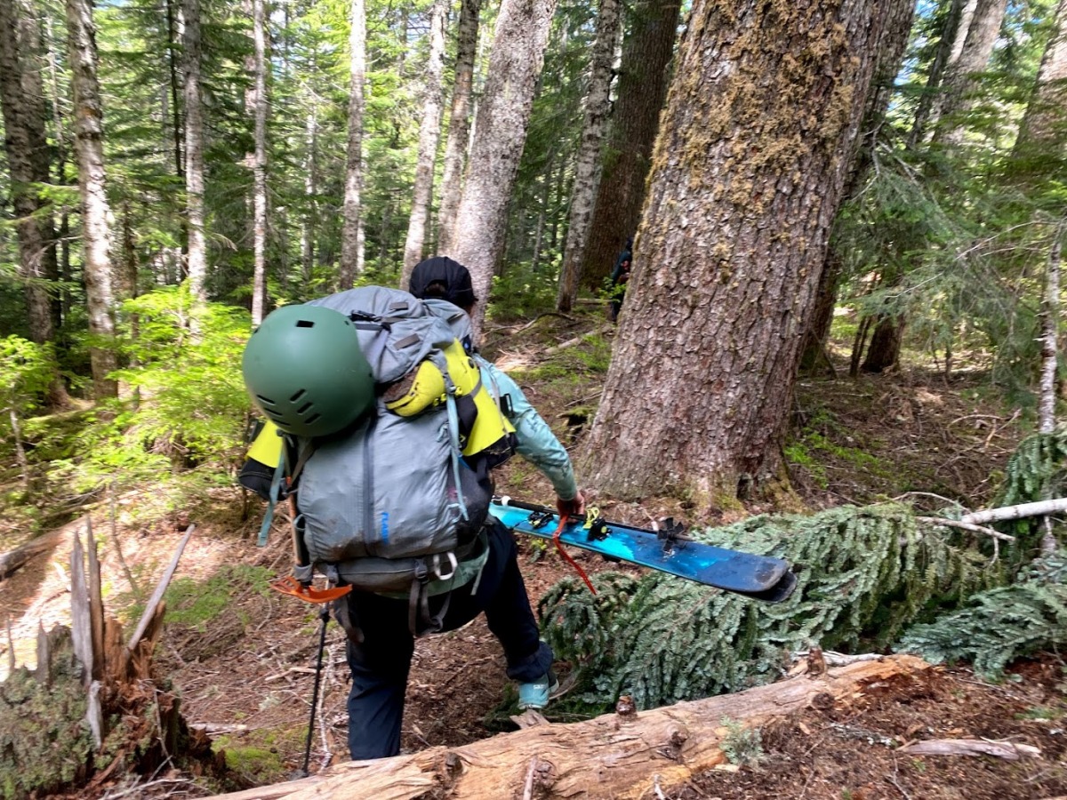
Julia navigating the less steep and cruxy portion of the lower elevation trail, dreaming of reaching the maintained hikers trail.
Once we reached Pyramid lake, the end was in sight! We dunked our faces into the lake, filtered some water and headed to complete the final 2 miles to the car. If you asked me right at that moment if it was all worth it, I’d be on the fence. Thinking back to it now, it was indeed 100% worth it. Experiencing the Cascades, with their wide open snow slopes, rocky ridges and bushwacky forests, truly feels like a gift and I wouldn’t have it any other way.
What an adventure! Back at the car, one beer in, I was already forgetting the worst of the descent. I have successfully completed my first traverse, only briefly losing it in a section I least expected. We covered quite a bit of ground in the three days that we were out in the mountains, and it truly felt amazing to have done it. Consistently great visibility allowed us to see the terrain we had ventured across each day, really adding to the perspective of how amazing it is to know how much ground you can cover using your own two feet. Mad respect to those who complete the traverse in a single day!
Overall, I thought the traverse was more difficult than any of the reports I read made it out to be. We definitely had challenging conditions to deal with, both with weather and recent snow, which did slow down our travel. The main thing that made it feel rewarding was being able to share the experiences of this escapade with Louie and Peter. Spending time in beautiful North Cascades with outstanding ski partners is what puts so many simple things I struggle with in life into perspective.
If you are thinking of venturing out on your first ski traverse, my advice to you is to first start with shorter overnight ski trips. Also, don’t be uninspired by the heinous spring de-proaches we all dread (the key is to be mentally prepared for what is coming!), they help build us up in so many ways we may never realize.
Read more ski traverse trip reports
WildSnow Girl, Julia Dubinina, is a weekend warrior chasing snow in winter and sun in summer. A lover of long tours and steep skin tracks, she explores the Pacific Northwest and beyond. When she is not out adventuring, she is working away at her corporate desk job for a software company to make her next adventure happen.

