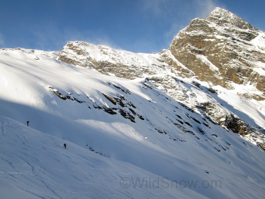
Vast terrain of the Rottenspitze tour (the rock pyramid is a sub-peak). We hit it bluebird, morning after a storm. A bit of avalanche danger but good terrain for safe route finding. Click all images to enlarge.
Another in our somewhat random (sorry) trip reports from our January in Europe. The journey was as much about doing gear journalism as it was snow riding, as the backcountry skiing industry these days is going crazy with new and evolved products. But contrary to myth we do try and ski during such trips! Problem was that only one region in our travel area had good snow: the Alps south of the Austrian border known as “Sud Tirol,” (southern Tirol, spelled frequently as Sudtirol or same with umlaut U)
We cast out for Sud Tirol specifics. Friends from Dynafit and Salewa turned us on to the Passeirtal Valley north-westerly of the city of Bolsano, as well as the local Pfitscher family who are big ski tourers (as well as amazing wood workers and designers). Passeirtal is a large valley full of vinyards and farm villages, with lots of side drains and complex alpine terrain. After we’d been skunked by the weather for a few days and realized we might have one bluebird day free before we started driving again, Wilfried Pfitscher suggested Rotenspitze. This is a popular alpine ski touring area with a bunch of varied terrain that works with higher avalanche danger, due to available lower angle terrain and down-scale size runs connected by flatter areas. No trees of course, so airbags are a popular and wise choice in avalanche safety gear.
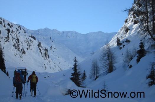
The day began frigid, about 10 above zero F. We weren't really equipped for these sorts of temperatures, but made do with our warmer gloves and boot covers. Using my GPS, I had an easy time finding the trailhead parking, but the few hundred feet to the actual trail from the road went through a maze of driveways. Luckily a group of friendly Austrians and Germans screeched to a halt at the trailhead while we were booting up. One guy spoke good English. Between puffs on his cigarette (this is Europe, where people smoke on the skin tracks as they smoke _up_ the skin tracks), he assured us the route was easy to find. Even so, we hung back then followed the locals as we flat-skinned up a farm road that soon broke out into a stunning alpine valley.
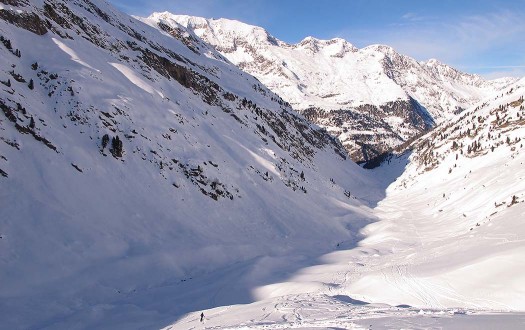
Looking northerly down the route, Passeiertal valley is the gorge between us and the far mountains. We're in what's essentially a hanging valley dropping to the Passeiertal.
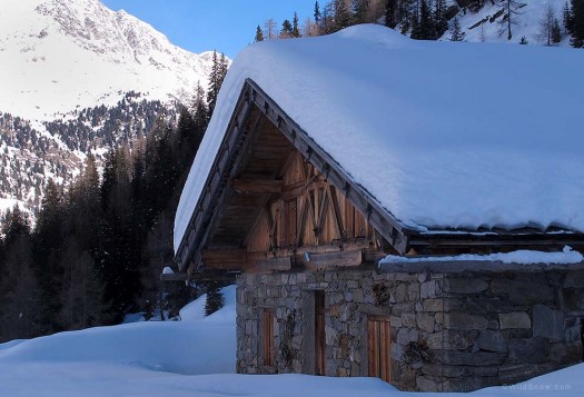
When you enter the hanging valley you cross through this alm with a nice summer house. At 10 degrees fahrenheit, I was wondering what it would be like without snow, cow bells chonging on the breeze and dirndl skirted maids prancing around with their milk buckets, hay fields greening under a hot alpine sun. Funny what goes through your mind when you didn't bring warm enough gloves and you've read too many tourist brochures.
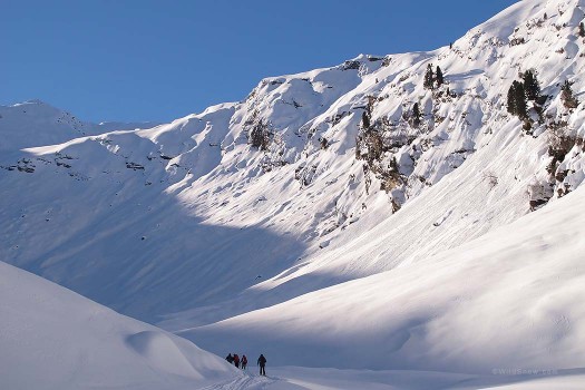
Looking upvalley from about half way up the route. Several hundred ski tourers were enjoying the place. It never seemed very crowded, but was pretty much tracked out in terms of freshies, though I did find more pow turns on the descent than I thought I would. Quite a bit of other terrain is available but wasn't being used, probably due to higher avalanche danger making everyone want to stick to the pounded out parts of the mountain.
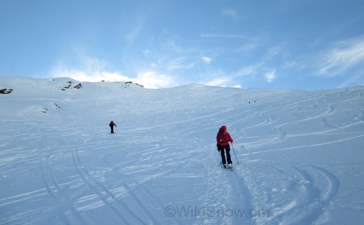
Slogging it out about 2/3 of the way up. This area is known for the crowds. Yep, tracked out, not a ski lift anywhere and the morning after a storm.
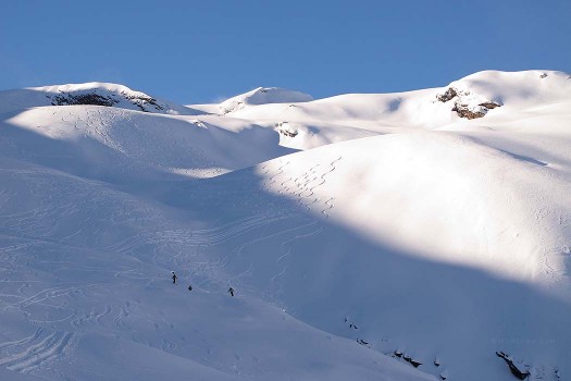
The climb is about 4,000 vertical feet. Towards the end you get into this beautiful rolling terrain, with summit hidden up to left.
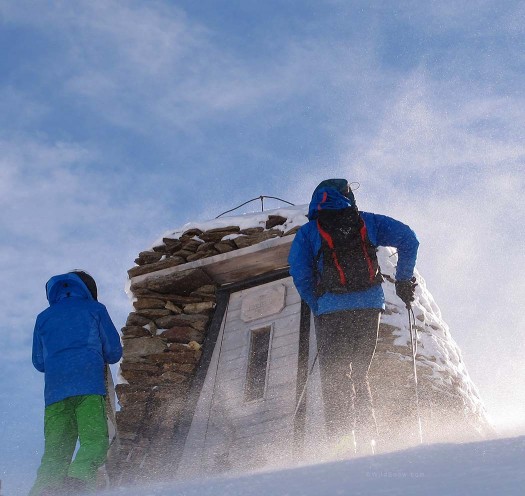
Brrrrr, summit had a shelter but it was filled with other folks so we did a quick transition in the wind and got out of there before frostbite set in.
The ski down was one of those long rolling affairs that make you feel like you’ve somehow acquired bonus vertical. Surprisingly, considering all the tracks, we found enough fresh powder to justify the glowing blue sky. A gasthaus is of course located at the trailhead mere meters from where you park, so that was enjoyed as well. In all, Rotenspitze is a highly recommended ski tour that can easily be self-guided with a GPS, map, and a few chats with the locals. As for the dirndls, I think we’ve got one of those kicking around WildSnow HQ, somewhere.
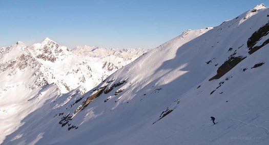
Me myself and I. This is the Alps, big terrain, contrary to myth you can escape the crowds. Though the nearest person might be closer by than many North American skiers are used to.
Map below gives an idea of the area. The trailhead is a bit over a mile on the road northeast from Plan-Pfelders (named on map) at a small group of buildings I believe is called Berg Cristall. It’s easy to GPS. To start the tour, just head up the most obvious driveway keeping to the left (easterly) of the creek. This will funnel you up to a farm road that lifts you quickly to a flat alpine valley where you slog a bit before the real climbing begins. We stayed in both Pfelders and Moos, you can find both on map. Rotenspitze is in the alpine southeast of Pfelders, but doesn’t appear to be named on the map.
View Larger Map
WildSnow.com publisher emeritus and founder Lou (Louis Dawson) has a 50+ years career in climbing, backcountry skiing and ski mountaineering. He was the first person in history to ski down all 54 Colorado 14,000-foot peaks, has authored numerous books about about backcountry skiing, and has skied from the summit of Denali in Alaska, North America’s highest mountain.
