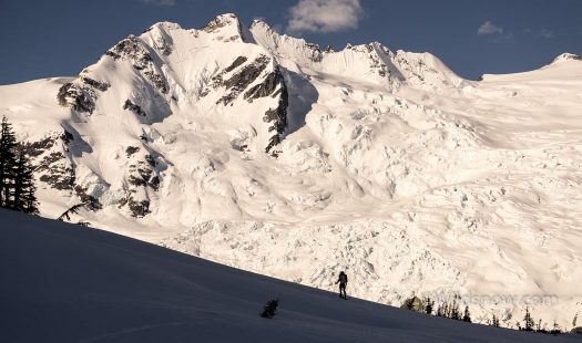
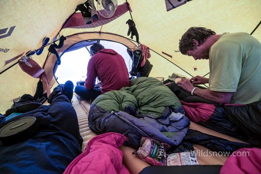
What I like most about ski mountaineering is exploration and adventure; the feel of following your skis into the unknown. Over the past few years I’ve set out on a variety of long ski trips. Most recently a storm-lashed fly-in basecamp trip in SE Alaska. After sitting in a tent for 2 weeks with no way out, a different type of trip began to become attractive. I’ve gained more interest in a longer, human-powered adventure to a remote area, preferably one with awesome skiing.
What we call “The Cascades” of Washington state, U.S., is really just a tiny southern appendage of the behemoth Coast Range, which stretches from the Fraser River in British Columbia all the way to Alaska. Let me repeat. All the way to Alaska. That’s about a thousand miles. The Coast Range holds the largest non-polar icefields in the world, and tens of thousands of peaks. Only a few roads traverse the range, with the majority of these vast lands being largely inaccessible, protected by long distances, dense rain-forests, and tempestuous weather. I’ve been dreaming of a trip deep into the Coast Mountains for years.
These thoughts floated around my head all winter, and I began to come up with some plans. Of all the areas, the Monarch Icefield stuck out for a variety of reasons. Although remote, it is fairly accessible, with only a few days of hiking required until you gain the ice. It has a nice concentration of high peaks that hold opportunities for all sorts of skiing, from steep lines to mellow glacier descents. The area, near Bella Coola, is also close enough to Washington to not require an airline flight, making scheduling and logistics much easier.
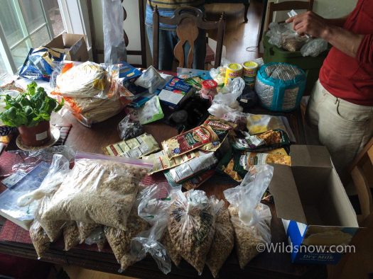
My good friends, Coop and Eric, were also psyched to seek out some adventure. We met up in Seattle in late April, and spent a few days prepping for the trip. We set off on the long drive on the afternoon of April 29th.
About a year ago I sold my beater Jeep Cherokee, and got a gas-sipping Suzuki. This trip was “Suzy’s” first long-distance adventure. She did great, although her tiny gas tank almost got us in trouble a few times.
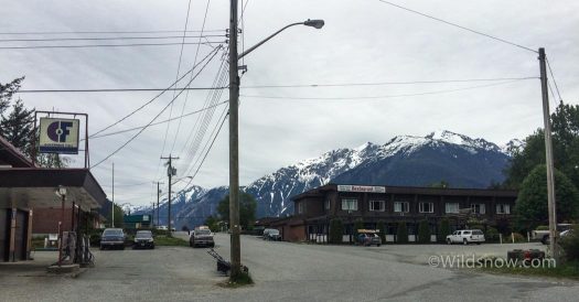
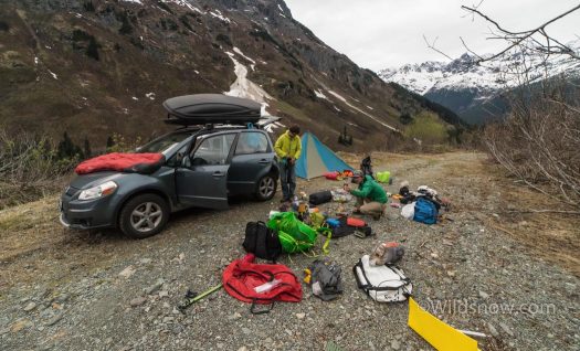
After a beautiful, long drive through southern BC, we arrived in the tiny coast town of Bella Coola. After last minute shopping, we drove up rugged Nusatsum Road, arriving at our trailhead before dark. The evening was spent packing, and wondering if the grizzlies would investigate our food hoard spread over the road.
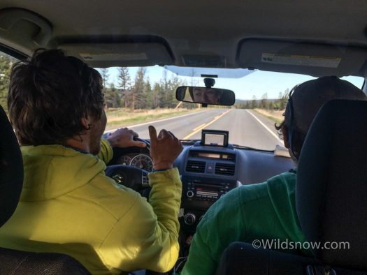
The long drive was the first crux of the trip. Long stretches of road with minimal habitation led to some near-misses with running out of gas.
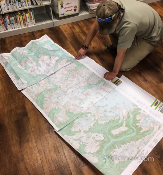
We couldn’t find any local maps of the Monarch area, so we bought them in Bella Coola. Here’s Eric checking them out on the floor of the local library.
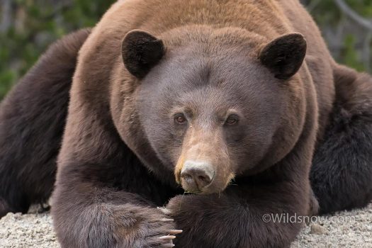
We weren’t expecting grizzly bears, but decided to bring bear spray at the last minute just in case. On the drive we got up close with this fella, and saw lots of evidence throughout the trip.
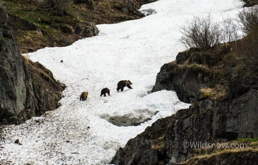
We scared off this big mama and two cubs when we parked our car at the trailhead. We slept with the bear spray close at hand that night.
The next morning we loaded our packs, disappointed at how 15 days of food and mountaineering gear weighed us down. I weighed my pack with a luggage scale; close to 80 lbs. We set off, slowly, first down Nusatsum Road on foot, then up the forested Ape Lake Trail. I was pleasantly surprised by the quality of the trail, it was steep, with a few logs to crawl under or over; much better than a full-on bushwack.
After only an hour, we reached snow, and were soon able to skin through the forest. Our packs were crushing, and we hoped to be able to switch to hauling our sleds. No such luck however, the terrain was too rugged and choked with vegetation to even try.
After many hours of sweating and swearing, we reached our first camp, at the outlet to Polar Bear Lake. The camp wasn’t quite to the icefield, like I had hoped, but we were close. The Purgatory Glacier icefall gave us quite the show of calving ice, as we watched while eating dinner, across the deep Noeick River valley.
The next morning dawned clear, and we headed up the valley, hoping to get onto the icefield by that evening. Despite maps and guidebook beta, the route ahead wasn’t entirely clear. Melting glaciers have changed the landscape significantly; we weren’t sure what to expect.
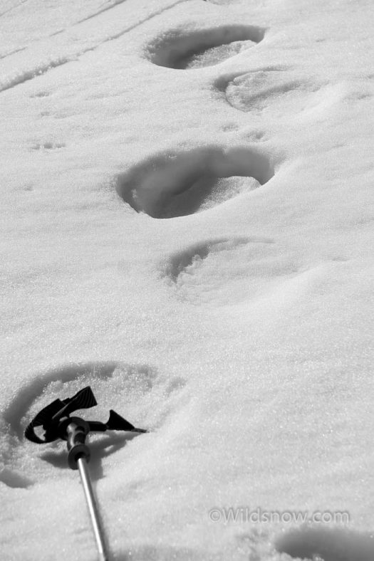
We skinned up and over a small pass, and made our way down through dense trees to the broad valley below. The routefinding through the forest was difficult at first, but eventually we found some grizzly tracks, following them made the going easy.
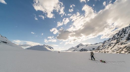
Once down in the valley, we were excited to find ourselves in “sled country”. The long, flat valley was perfect for hauling our sleds. We rigged up the contraptions, made out of cheap, lightweight sheets of plastic, and set off.
While lugging our colossal backpacks, we had imagined our sleds to be saviors. This wasn’t quite the case, the little red things were like unruly puppies, darting off toward tree wells and rocks with no warning. However, even with periodic wrestling, we were glad for the load to be off our backs.
We cruised up toward the glaciers emptying from the icefield. Eventually we spied our intended route, the gentle Noeick Glacier, ascending out of the valley like a massive mountain highway. Unfortunately between us and that highway lay a rushing, glacial river.
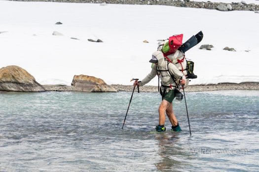
We hiked along the Noieck River, looking for a crossing point. After much back and forth, we finally found a likely spot. It entailed several hundred feet of wading, but was shallow enough to not topple us and our heavy loads. We attached our sleds and skis to our packs, in various precarious fashions, and headed across. Once on the other side, the way seemed clear. Indeed it was, if a little long.
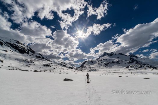
That evening we ascended the Noieck Glacier, to our camp near the top. Out of the lowlands, into the icefield! The glacier awed us with it’s size, but we knew it was only a fraction of the main Monarch Icefield, now only 1 or 2 days travel distant. We quickly set up camp, and crawled into our sleeping bags, exhausted. When the next morning brought clouds and snow, we were all a little grateful for the “forced” rest day.
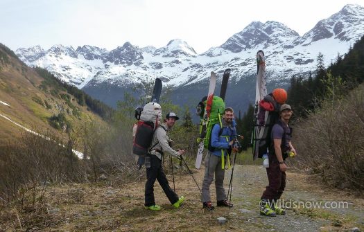
With 15 days of food and full ski-mountaineering gear, our packs were MASSIVE. The first two days were quite the slog.
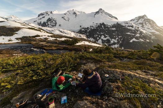
Our camp the first night. Across the valley the Purgatory Glacier threw ice down the cliffs all evening, rumbling like thunder.
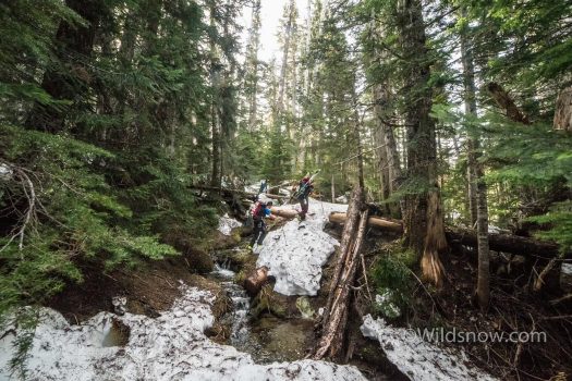
The sub-alpine schwack approach. Sure sign of a good Coast Mountain adventure. Luckily this didn’t last too long before we were able to skin.
Map below shows our first camp on the Monarch Icefield, reached on day two.
Louie Dawson earned his Bachelor Degree in Industrial Design from Western Washington University in 2014. When he’s not skiing Mount Baker or somewhere equally as snowy, he’s thinking about new products to make ski mountaineering more fun and safe.

