Our biggest day in Alaska, written by Coop. Photos by all of us. – Louie

Tyler Wilkes and Russell Cunningham setting a skin track up an unknown peak just inside the Glacier Bay National Park boundary.
With the obnoxious tune of my watch as my alarm at 5:00 in the morning, I had brief thoughts of rebellion against waking up. With a quick look out of the tent door and a reminder of where we were, all reluctance disappeared and we rallied quickly. With hopes of increased stability and getting on the bigger lines we had been gawking over, we were skinning across the glacier just as the sun came up.

Louie Dawson and Jonathan Cooper skinning towards the morning objective; the couloir is hidden behind the large rock band.
We had our sights on a couloir that descended almost from the summit of an impressive peak near camp (which is all relative). The line makes a dog-leg turn about half way up, exposing the upper slope to a southeast aspect. We knew that an early start was crucial to ascending and descending the upper slope safely, despite the cold temperatures that we had been experiencing.
The distances out here are so vast that judging travel time on skis is difficult without much prior experience. As we approached a slope that skirted an impressive icefall we began to notice the drastic change in temperature. The sun felt more intense today, despite the early morning, and we continued on with skepticism. We reached the bottom of the couloir, changed over and put on our ascent plates and verts on to start the arduous boot pack up the increasingly aesthetic line.
With a longer approach than anticipated a few of us started to express concern in the sun’s effect on the southeast aspect. We did not have a clear view of the upper 1000 + feet of the slope, as it was partially hidden by cliffs and early morning clouds. We were also frustrated at the potential of being turned around due to our later than necessary start time. A decision was made to boot up under the protection of the cliffs before the dog-leg and to reassess the upper slope when we had a better visual.
We made it about 200 vertical feet when a small amount of sluff rained down from the upper reaches of the couloir. This sign sealed the deal for us, and we put our skis and boards on and descended back to the glacier. With questions still lurking around the stability of the snowpack, despite the extra day of clear weather, we had to come up with a new plan.

This photo was taken near the base of the couloir. There are clear signs of sluff coming down since the recent snowfall. The couloir makes a (looker’s) right turn and ascends almost to the summit of the peak.
We decided to take a long walk west towards the incredibly aesthetic tower that we had spotted from the top of a small couloir earlier in the trip. This line, not knowing if it was clean or not, was the pinnacle (no pun intended) of our potential ski mountaineering objectives. Fortunately, we knew that it wouldn’t be a total bust if we spent all the time walking over there and the line did not go. Just beyond the pinnacle was a beautiful rolling face that looked to hold great snow, and provide incredible summit views of the peaks that lie within the Glacier Bay National Park.

Louie and Coop stop for a brief moment while crossing the extensive glacier towards the next objective. This pinnacle had been in all of our sights for the past several days. The “Plan B” peak sits just beyond the pinnacle shrouded in clouds.
As we gained a clear view of the skiable face off the pinnacle we decided that it had potential. The coverage was visibly thinner and more exposed than previous lines we had skied, which led to uneasy feelings for some folks in our group. The line we mapped out would be more survival skiing rather than the GS turns we were able to lay out on the clean, deep, and steep faces of the previous days. Nonetheless, Louie and I were excited to give it a try, purely based on the aesthetics of the pinnacle and the potential route down. Tyler and Russell decided to set a skin track up the beautiful rolling face of the Mt. Baker-esque peak positioned adjacent to the pinnacle. We made plans to communicate via the radio and rendezvous later on.

This picture shows the anticipated ascent route. Louie and I made it to the point where the rocks narrow into the shallow choke.
When Louie and I approached the base of the route, we noticed that the coverage was even thinner than we had anticipated. Louie crossed the bergschrund with only minor wrestling involved, and we decided to dig a pit before moving too much further up. Our main goal was to investigate potential faceting occurring near the snowpack – ground interface. Tony had clued us into recent reports from the heli-skiing crowds over the past week around Haines. The snowpack in this part of Alaska this year is below average (not that we could tell the difference), and has been acting more continental than maritime. Reports of skier triggered shallow slabs and heavy sluff stepping down to deeper faceted layers near rock trigger points have been more common than normal. This information raised our awareness of this slope in particular, due to the visible increase in rocks and trigger points.
Our pit location was in the sluff collection zone, thus not giving us a truly accurate representation of the snow depth higher up. Regardless, we found a thin layer of relatively small faceted grains (1-2mm) at the ground-snow interface. With this in mind, we proceeded with caution and wanted to gain elevation to make a second assessment. We continued booting up about another 300 feet, digging hasty pits along the way. The route proceeded through a narrow section of rock, and we began to notice decreased snow depth and a drastically increasing amount of faceted snow. With a keen eye on the terrain and potential trigger points we were critical of our decision-making. The idea of being turned around on yet another aesthetic line with only a day or two left out here was devastating. That being said, we knew that continuing on with a worsening snow pack was a decision neither of us was willing to make. So instead, we made comments of how crummy the snow was to ski anyways, and that sent us back down our ascent route well justified.

Tyler took this picture while ascending the adjacent peak. The incredible line off the summit looks even more enticing than our planned ascent/descent route.
Fortunately, as we had planned, we had a beautiful slope to ski that was holding incredible snow. We radio-ed up to Russell and Tyler and told them we were following their skin track. As we ascended the adjacent peak to meet our friends we were further enticed by the pinnacle from all angles, and the beautiful line that descended from its summit. The top of the skin track ascended a spicy ridge with a few thousand feet of exposure that was not visible from below, which was what we needed to give us our rush for the afternoon. Once at the top, the four of us were treated to some of the best views we had had all trip. A 360-degree view of the surrounding area, and the highest we had been in the past week.

Louie and I following the other guys up the ridge. Just to our left is a few thousand feet of exposure to the glacier below.
[photonav url=’https://wildsnow.com/wp-content/uploads/2013/04/DSC4885v2.jpg’].
Above, a panorama of Tyler enjoying the views from top! Mouse over the image to enjoy our view.
Our line down the slope started with a questionable convex roll that ended in a shallow bench before a continuous run to the bottom of the glacier. Louie dropped in and stomped out a couple ski cut turns before proceeding cautiously, yet with speed. We had all anticipated that the convex roll would let loose a shallow slab, but decided it would not be able to run beyond the bench. Louie managed to cut across the slope towards the ridge and outrun a slow moving, shallow wind pocket that did not come close to the edge of the bench. Russell and Tyler managed to tactfully cut out the remaining hang-fire and move past it safely. Each of us had an incredible run to the bottom of the glacier in deep, light snow after that.

Kt managed to catch this sequence of us skiing off the summit.

The wind-pocket that Louie ski cut and released.

After all four of us descended the slope.
With a long skin back to camp in late-afternoon light, Russell and Tyler decided to make moves. Louie and I, still holding on to skiing this line off the pinnacle, wanted to see what the snow was like on a different aspect. We decided to skin up on to a northwest aspect, rather than the previous true north aspect. We thought the daily sun exposure might have a different affect and create increased bonding. So we dug another pit and did further investigation, holding on to the chance that we would be able to make it happen. Despite better results in the pit, we knew that the line would have to wait until another year. We have visions of the line setting up quite nicely in a bigger snow year.

The pinnacle in prime late afternoon light. One can imagine how this line would shape up in a big snow year.
Louie marked his territory in the pit and we moved on down back to the glacier for an enjoyable skin back to camp. The evening light, calm weather, and beautiful mountain-scape was an incredible way to end the day. The landscape that you get to travel through out here is unique, regardless of the lines you get to ski. Both of us agreed that we were very fortunate to be able to spend another day in the mountains of Alaska.

Despite being turned around several times, Louie is as grateful as can be skinning back towards camp after an eventful day in Alaska.

Coop skinning home across a big flat glacier.
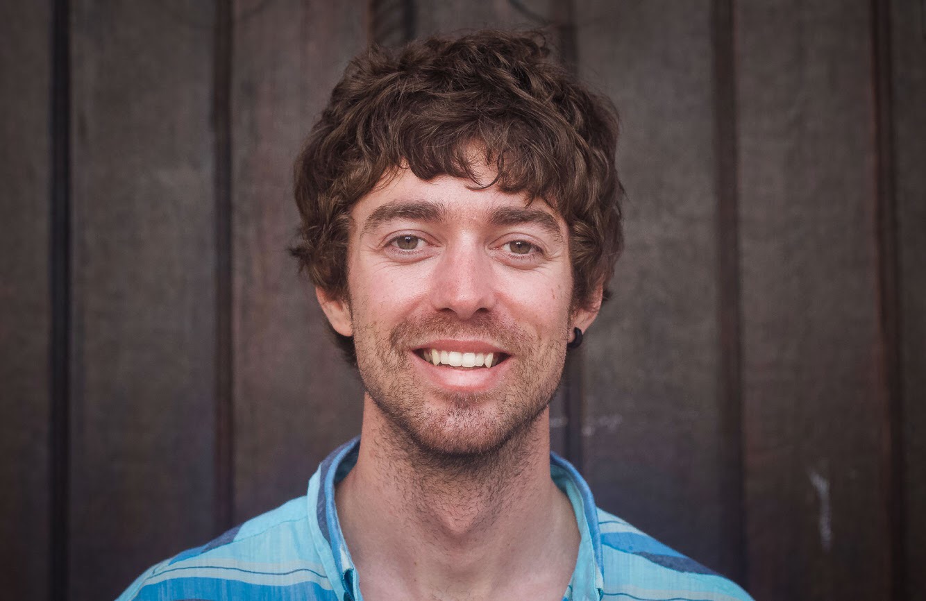
Jonathan Cooper (“Coop”) grew up in the Pacific Northwest and has been playing in the mountains since he was a teen. This was about the same time he made the fateful decision to strap a snowboard to his feet, which has led to a lifelong pursuit of powdery turns. Professionally speaking, he has been working as a ski guide, avalanche educator, and in emergency medicine for over a decade. During the winter months he can be found chasing snow, and passing on his passion for education and the backcountry through teaching avalanche courses for numerous providers in southwest Colorado, and the Pacific Northwest. Similarly, his passion for wilderness medicine has led him to teach for Desert Mountain Medicine all over the West. If you’re interested, you can find a course through Mountain Trip and Mountain West Rescue. In the end, all of this experience has merely been training for his contributions to the almighty WildSnow.com.