Jesse Crocker
(Editor’s note: Ever since 1928, when Orland Bartholomew skied the entire 200+ miles of the Muir Trail in the California Sierra, the route has been a goal for backcountry skiers. While some Muir skiers have slogged out the trail in winter, or taken their time on the route making numerous springtime camps, every so often someone hits the Muir to seek that free and easy feeling of moving over this route’s mellow terrain using lighter weight ski and camping systems. Here is one such man’s adventure.)
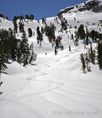
Muir Trail backcountry skiing.
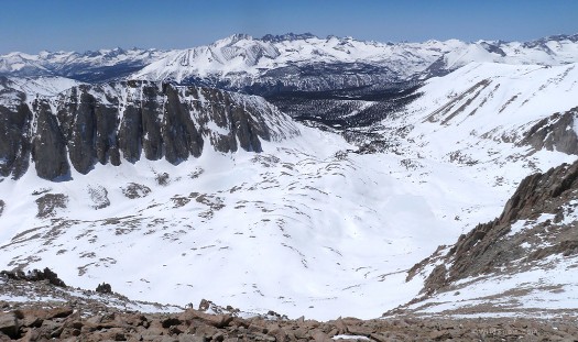
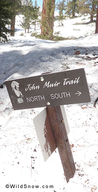
While hiking the John Muir Trail (JMT) during a thru-hike of the Pacific Crest Trail in 2009 the thought kept coming to me that the JMT would make for an epic ski tour. Out of 220 miles, over half of it is above tree line and with 10 major passes, so there was bound to be some good skiing. I resolved then and there that I would come back and ski it when the conditions were right.
After two years of thinking about skiing the Muir, this spring the conditions looked to be perfect: Snow pack was 170% of average, and no sun cups. I began planning seriously in early April, reading all I could, coming up with a time table and a resupply strategy. I decided to put in three food caches so I would not have to leave the trail for a resupply, and would not have to carry more than 4 days of food at a time. I went on a scouting mission early April and all looked good, so I put in a food cache and planned to return when there was a good weather window.
Late April the weather looked good, so I packed up and headed to the High Sierra. The first day of skiing was putting in a food cache at Reds Meadow campground outside of Mammoth Lakes. Arriving at the trailhead I was greeted by freshly groomed trail that went all the way to the campground and the hot springs. The snow had melted enough that the campground bear boxes were visible, and it took only a few minutes of shoveling to get my food cache into one of the bear boxes.
The next day I had one more food cache to put in before I could head out. Driving up to the North Lake trailhead outside of Bishop I found the road plowed, but still closed, so instead of skiing from the car there were three miles of pavement added to both ends of the day. I reached the snow around sun rise and started to skin, at what felt like a sluggish pace due to the two bear cans (one for a friend on another trip) full of food in my pack. I reached my destination in Evolution Valley after a 4500 foot climb up over Lamarck Col, and a long traverse above Darwin Canyon. I stashed my bear can, then headed back to the car, skiing much faster without a fully loaded pack. By time I reached the car that evening I had gone 27 miles, 7500 vertical feet, and it was too late to make it down to the ranger station in time to get a permit, so the next day would be a much needed rest day.
After spending a relaxing day in Lone Pine at the Mt. Whitney Hostel, eating as much as I could, I headed up to Whitney Portal. I took a short hike that evening and left my skis, shovel, and ice axe at the snow line, a mile and a half up the trail.
Day 1
When I woke up at 3:30 it was really windy, and figuring there was no way I would be able to summit Mt Whitney that day, I slept for a few more hours. When I left the trail head at 7:00 the wind had died completely, the climb up to Trail Crest went quickly, and from there I switched to hiking on the summer trail to the summit of Mt Whitney. I summited at 1:30 with no one else around, then headed into the heart of the High Sierra. After a nice long descent down the highest peak in the lower 48, and several hours of traversing through the woods I reached Wall Creek where I had planned to camp on the second night.
Day 2
I woke up to a cold and windy morning. After a short stretch through the woods I emerged onto the Bighorn Plateau, with stunning views of the Great Western Divide, but also very exposed to the wind. I started skinning wearing a puffy coat and puffy pants, and due to the wind, wore them the entire 12 miles to the base of Forester Pass.
The couloir heading up to Forester looked very firm, so I decided to wait at the bottom for the snow to soften up. Not having crampons I could not see any way that I was going to be able to get up the couloir. After an hour of waiting the snow did not seem to be getting any softer, so I headed over Ski Mountaineers Pass, 1/4 mile to the southeast of Forester. This was my only significant detour off of the JMT, but it ended up being well worth it. The north side of the pass still held cold snow, and the pitch was steeper than the long mellow north face of Forester. After a long descent that seemed more flat than downhill I reached my first food cache. I started out with 4 days of food, and reached the food cache after a day and a half. After taking the best food out of the cache, and leaving the food that didn’t seem appetizing, I headed on.
From my cache it was a nice low angle climb to the base of Glen Pass. I planned on crossing the pass the next morning, but when I arrived at the base of the pass half an hour before sunset the snow was still too nice to stop for the day. After some scary booting up the final headwall (twice in one day I wanted crampons), I reached the top of the pass at sunset and was rewarded with some great alpenglow. Glen Pass was another great descent with good cold wind buff, though I was skiing pretty slowly due to lack of light. I reached Rae Lakes just before dark, chopped a hole in the ice for water, and made camp on the isthmus between the lakes.
Day 3
With an early start, I had a great sunrise cruise down Rae Lakes. Upon reaching Woods Creek mid morning, I was very glad to have a GPS to locate the bridge. After an hour and a half gear drying break, I started what seemed like an endless climb towards Pinchot Pass. After a quick descent down Pinchot and an easy climb to Upper Basin below Mather Pass, the snow seemed to be firming up quickly so I decided to make camp early and go over the pass in the morning.
Day 4
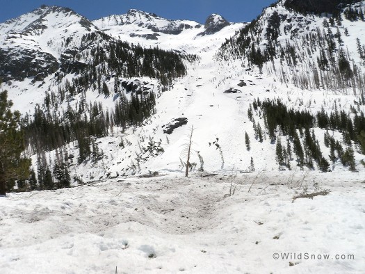
I got a late start to let the snow soften up for awhile. The snow going up the pass was still frozen so I took an overly long route up through the rocks to the west of the pass, then had to walk a hundred vertical feet down the ridge line to the pass. The trail down from Mather Pass includes a section of amazing trail work known as The Golden Staircase, somewhere around a thousand vertical feet of switchbacks and rock stairs. I wasn’t sure how I would manage to get through it, but I found a gully between the stairs and the creek and was able to ski all the way down. Farther down Palisade Creek I came across some really impressive avalanche debris; 50 year old trees pushed 200 feet up the other side of the canyon.
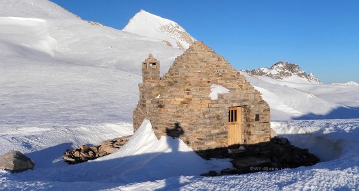
I took a lunch brake at the Kings River, and then started the seemingly endless climb towards Muir Pass. The lower portion of the climb was through the woods and the easiest path was to stay on the summer trail, which was made easier by a set of tracks from a bear who seemed to know exactly where the trail was, even though it was covered by 6 feet of snow. I reached the top of the pass at 9:30pm after navigating up the final sections in the dark by memory and GPS. The hut at the top of the pass was easily accessible and made for a great campsite after 3 nights of sleeping on snow.
Day 5
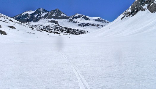
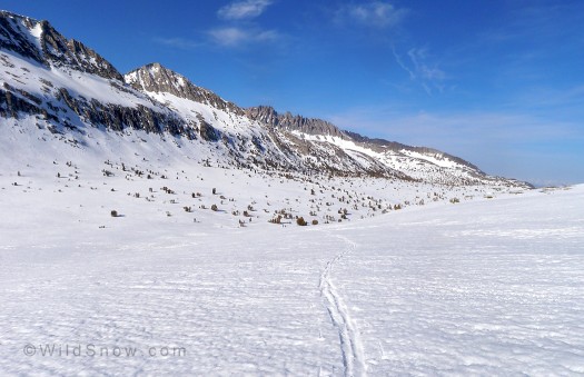
The descent from Muir Pass was long and gradual, 4000 feet over 20 miles, with far more skating across frozen lakes and snowy meadows than actual descending. A couple miles down from the top of the pass I encountered the only other people that I would see the entire trip. They seemed very surprised to see me skating toward their tent at 7:30 in the morning. I reached my next food cache at 8:30 that morning, the fifth day of my trip. By my original schedule I should have gotten there at the end of the seventh day, the travel conditions had been perfect so far and I was moving way faster than I had planned for. After trading the least appetizing items from my pack for the best items from the cache I left the bear can as full as it was when I got there.
Heading down the Evolution Valley there was lots of evidence of some huge slides earlier in the spring. In one spot the snow on the edge of the creek was 30 feet deep. That afternoon I came across the first stretch of melted out trail. After most of an afternoon of hiking I was able to put skis back on at Sally Keyes Lake. I reached the top of Selden Pass just after sunset, descended a mile or so down to Rosemarie Meadow, and made camp. By the end of the day my boot liners were completely soaked.
Day 6
This was to be the most frustrating day of the entire trip. After averaging 25 miles a day for the first 5 days, on day six I only managed the cover 16 miles, and even that took way more effort than the previous days. The day started out with a short descent through a confusing maze of gullies and thick woods, followed by what looked on the map like it would be an easy climb up Bear Ridge. It wasn’t. I had to hike most of the way, losing the trail repeatedly and forcing my way through aspen thickets. Hiking in ski boots sucks.
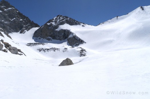
The route description said the descent down the other side to Mono Creek would be unskiable, which made the climb up even more frustrating. When I got to the top I was pleasantly surprised that the descent was very skiable, 40 degrees, corn and big trees, one of the best descents of the whole trip. After locating the Bridge over Mono Creek I took a several hour lunch break while trying to dry my boot liners. After delaying as long as possible I set off again. The conditions heading up Silver Pass Creek were some of the most hazardous I encountered, traversing across steep slopes on snow that seemed to be barely hanging on to the steep wet granite slabs underneath it, with any fall leading to a swim in a raging creek. I had hoped to make it over Silver Pass by the end of the day, but at sunset I had only made it to Silver Pass Lake, 500 feet below the pass, and I was totally exhausted. I was not able to find any open water, but while melting snow I was serenaded by a chorus of frogs.
Day 7
The next morning I awoke reenergized and determined to make it to Red’s Meadow by nightfall. The route finding was easy, and while the skiing wasn’t exciting, it was fast. After what seemed like a 25 mile right hand traverse I made it to Red’s Meadow, my final food cache, the first cell phone service of the trip, and best of all, the hot springs.
Day 8
My food cache at Red’s Meadow was for 4 days, I decided to only take 3 days worth hoping I could keep up the fast pace of the rest of the trip. The initial climb out of Reds Meadow was very confusing, lots of small hills divided by cliffs. After the Initial climb the rest of the day just flew by. The first half of the day was a whole series of frozen lakes, with 50-500 foot mini-passes between them. Then came the climb up Donahue pass, the last real pass of the trip. After the long mellow climb, reaching the top was almost a disappointment, the trip was almost over. The descent down was the best run of trip, great corn, and several nice steep headwalls. Then came the slog, 10 miles of almost completely flat terrain along the banks of the Lyell Fork of the Tuolumne River. I followed coyote tracks that seemed to go to all the best snow bridges until I ran out of light and made camp on the edge of the river.
Day 9
Waking up on the Tuolumne River I had to make a decision. When I reached Tuolumne Meadows 2 miles downstream I could stay on the John Muir Trail, ski a couple more miles, and then likely hike the final 20 miles to Yosemite Valley, then spend a day backtracking to Tuolumne, and then another day getting back to my car. Or I could skip that last 20 miles, head east, and with any luck be back at my car by sunset. First thing in the morning I was cold from sleeping out in the open next to the river and having all my gear covered in dew that I was able to delay making the decision.
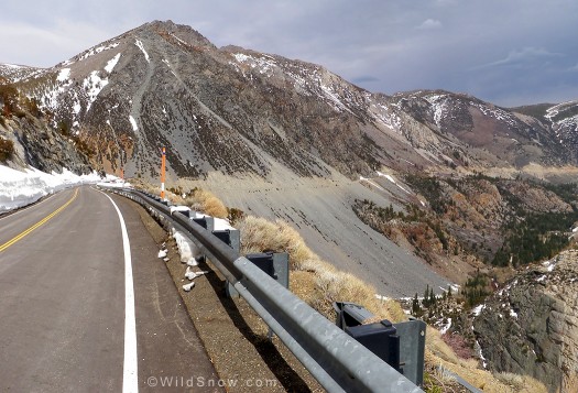
After reaching the closed-for-the-season ranger station in Tuolumne Meadows, and drying my gear on the parking lot bear cans I decided to head east. My plan had been to climb Mount Dana and finish by descending the Dana Couloir, but the clouds and high wind that day changed my plans. I found snow covered Highway 120 and I took it to Tioga Pass, the exit from Yosemite, from there it was a simple matter of skiing the 6000 feet down to the Owens Valley. After less than 500 feet of descending from the pass I came across the Caltrans plow crew clearing the road to open it. I was able to ski on the edge of the road for another couple miles, but eventually I had to give in and start walking down the road. After a few hours of walking the owner of a lodge at the top of the pass gave me a ride down to the highway 395, and after 2 more quick hitch hikes I was back at my car, 8 1/2 days after I started.
A few notes on gear.
The JMT is not meant for randonnee skiing. It’s not even meant for nordic skiing. It is a hiking trail with lots of long traverses, flat meadows, and short climbs followed by even shorter descents. This definitely requires something other than full length skins in your bag of traction tricks. I was skiing on waxless (fish scaled) skis, Karhu Guides, with Dynafit bindings. I had full length skins, but I used them for less than half the climbing. The trip certainly would have taken at least a day longer with only skins for traction. I had never used a GPS before this trip, but by the end of the trip I was very glad to have it. It proved invaluable for finding bridges, and for following the trail in stretches where that was necessary. Rub on glide wax and skin wax were a must. I waxed my skis every day during lunch and had no trouble with the sticky afternoon snow.
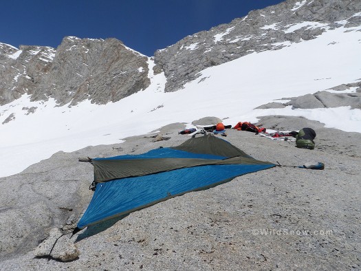
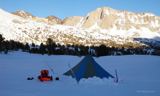
This trip was also an attempt to see if what I had learned about ultralight backpacking on the Pacific Crest Trail could be applied to “winter” camping. Was a fast and light thru ski possible? Leaving Whitney Portal at the start of the trip my pack weighed 34 pounds, heavy for summer packing, but far lighter than what most people are still carrying for snow camping. I carried a homemade ultralight (less than 2 pounds) backpack that I made specifically for this trip. I did not carry crampons, and several times I wished I had them. I carried a Camp Corsa ice axe which worked great, but if I did it again I would also carry a whippet. I did not carry a beacon or probe (no need on a solo trip). I carried a white gas stove and a lot of fuel, but this was overkill as I only had to melt snow twice the entire trip. I carried minimal extra clothing, and not a single item of gear that I didn’t use every day. I was prepared to be sit in my tent for a couple days if need be, and not to be out skiing in full winter storm conditions.
Maybe I went too light — the whole trip seemed to go by a little too fast.
Please note: I technically did not ski the whole Muir Trail because I went east from Tuolumne Meadows down to the Owens valley instead of west to the Yosemite valley, but the distance was the same.
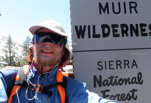
(WildSnow guest blogger Jesse Crocker currently works as a ski patroller at Kirkwood Mountain Resort in the winter. He tries to spend as much time in the backcountry as possible the rest of the year. He is currently attempting to convince himself that he can go anywhere on nordic skis. If you ride a patrol sled at Kirkwood, and the ‘troller gives you a thrill ride while trying to bring you down the mountain while on his nordic track skis, it might be Jesse.)
Beyond our regular guest bloggers who have their own profiles, some of our one-timers end up being categorized under this generic profile. Once they do a few posts, we build a category. In any case, we sure appreciate ALL the WildSnow guest bloggers!

