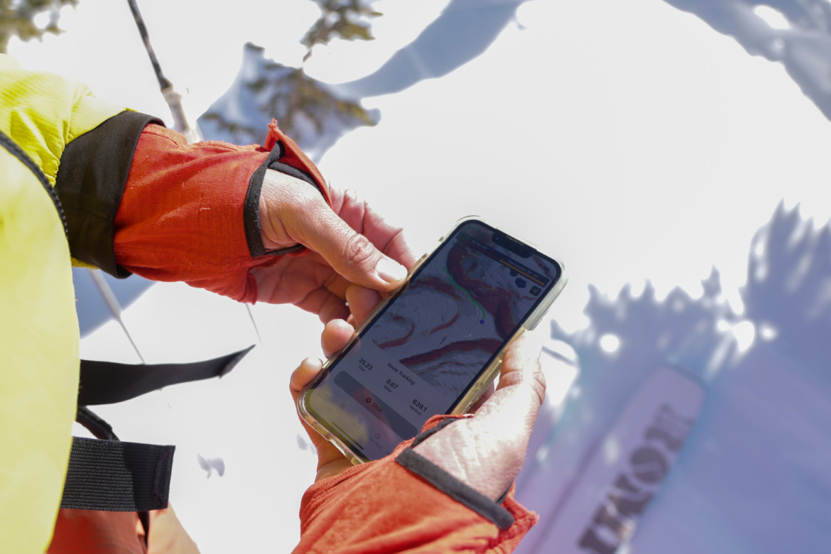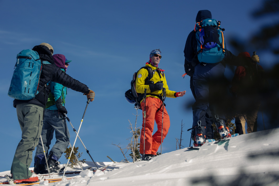
Aspect Avy app in the field Photo: Treeline PR / David Van Atta
Over the Thanksgiving holiday, a new avalanche safety app launched with an aim to help backcountry travelers make better decisions based on better data. AspectAvy uses historic avalanche accident data, the current avalanche forecast, and slope angle to boil backcountry decision-making down to a simple “go” or “no-go”.
It’s no secret that people aren’t perfect when it comes to staying out of avalanche-prone areas and each year there are backcountry recreation avalanche deaths (many involving experienced backcountry travelers) that drive the point home. Still, AspectAvy sees reassurance in the statistics and says its app would’ve recommended against travel in 100% of scenarios pulled from about a decade of historical avalanche accidents they ran through their algorithm.
In building AspectAvy, we looked at data no one had before,” said Jeff Banks, Certified IFMGA guide and Co-Founder of AspectAvy said via a press release about the launch. “We analyzed it completely differently, and came to radically different conclusions about how to keep skiers safe in avalanche terrain. Like most of us who travel in the backcountry, I have lost numerous friends and colleagues to avalanches, and it is clear that the current avalanche safety options just aren’t cutting it. We are excited to share AspectAvy with the backcountry community, with a mission of saving lives.”
Note: We tested a very much beta version of the app last spring in Crested Butte, but have yet to test the publicly available app. We will share our thoughts once we’ve been able to field test it thoroughly.
How it Works
Current avalanche forecasts from state organizations present avalanche conditions to the backcountry traveler, but the bulk of the interpretation of what that means for wise terrain choice falls to the user. For example, the Colorado Avalanche Information Center provides detailed statewide reports daily during the season and break down their forecasts and danger ratings by region. Within those regional forecasts, there’s then danger highlighted for certain aspects (i.e. Northeast-facing slopes above treeline) and narrative forecasts that offer color around the information (i.e. “stick to slopes less than 30 degrees”).
From there, it’s up to the backcountry traveler to interpret the information as it applies to their intended ski zone by combining maps and field observations with their reading of the forecast. This interpretation phase is often where things go wrong and anyone who’s taken avalanche education courses has heard about the “human factors” to watch out for. I’ve also heard many experienced guides use unofficial terms like “scary moderate” or “soft moderate” to add nuance to the official avalanche reports of Moderate Danger, indicating that there’s expertise and guidance not captured in the rating scales alone.

AspectAvy Co-Founder Jeff Banks using the app in the field Photo: Treeline PR / David Van Atta
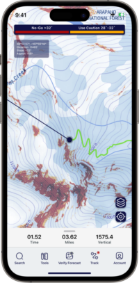
AspectAvy aims to mitigate these ambiguities with their more straightforward guidance. Their maps show slope angle shading similar to what’s available in OnX Backcountry and CalTopo, but the legend at the top of the app has only two colors– orange for “Use Caution” and red for “No-Go” along with slope angle ranges for each. Because the bi-color shading is overlaid on the map, it’s easy to look for dangerous zones to avoid for your ascent and descent.
Banks emphasized in an interview with WildSnow that AspectAvy isn’t another mapping app. He says slope-angle shaded maps from other apps are “the same colors in June as they are in January, but it doesn’t tell you the risk for today’s real-time avalanche forecast. It’s like using your blue field book. It’s all problem and no solution.” AspectAvy’s solution is highlighting the danger zones that reflect the current avalanche conditions so you can avoid them and ski lower-risk terrain.
AspectAvy also uses more precise LiDAR mapping that captures greater nuance in slope angle than traditional USGS maps. Avalanche professionals know that older maps can hide small pockets of danger. Banks says that AspectAvy currently covers the lower 48 states wherever they are able to combine forecast data and LiDAR maps and he expects to have LiDAR-grade basemaps for 100% of the forecasted terrain by January 1, 2024.
They also have a voluntary “Verify the Forecast” checklist pop-up in the app that not only provides a structured process for users to stop and compare what the app is telling them with conditions on the ground, but also shares the data with the app and adjusts recommendations in real-time for that user. I’m curious to see how this feature plays out as more users join the platform and submit field reports via the app. For now, field observations only affect that user’s app, but Banks sees possibilities of using user-reported observation data for real-time updates similar to how Waze warns drivers of accidents and speed traps.
Field Testing
Banks told us that widespread testing of the AspectAvy app by the public will give their team valuable feedback to evolve the app quickly. “As a backcountry community, we all know someone who has died in an avalanche. We’re asking the community to help solve our shared avalanche problem. Send us your feedback so we can make it better.”

If you’re getting out touring, are in the lower 48, and have a iPhone, we encourage you to download the app and use their 30-day free trial. You’ll need to have an account with the App Store to download, but won’t be charged the $49.99 annual fee if you cancel within 30 days. (The app is iPhone-only for the foreseeable future. Banks says the more complicated development associated with Android apps isn’t feasible while in the startup phase.)
Have you used AspectAvy? Share your feedback and questions in the comments and we’ll get answers and share them when we update this article with field testing of the app.

Justin Park is the Editor of Wild Snow. In 2009 while living in Hawaii, he got invited on a hut trip in Colorado. He had no backcountry gear, found Wild Snow, read up on backcountry skiing and bought some frame bindings for a pair of G3 Reverends so he didn’t have to buy touring boots. He moved to Breckenridge, CO a year later and today he skis 100+ days a year, most of them backcountry.
