From Lou: I’ve lost count of how many times I’ve skied Mount Elbert, Colorado’s highest mountain and one of our easiest “14ers” to glide back down. Only it’s sometimes not so easy.
This past weekend we drove over the hill from here with plans for a quick dash up Elbert, combined with some relaxing trailhead camping. Like I always say “adventure is where you find it.” Not only did we nearly get blown off the peak, but we skied way off the trail during our deproach (no thanks to me, writer of the guidebook!) and ended up semi-lost until we were rescued by one of our gal’s intuition combined with info from a motorcyclist we encountered on a lonely walk down one of a maze of poorly mapped roads.
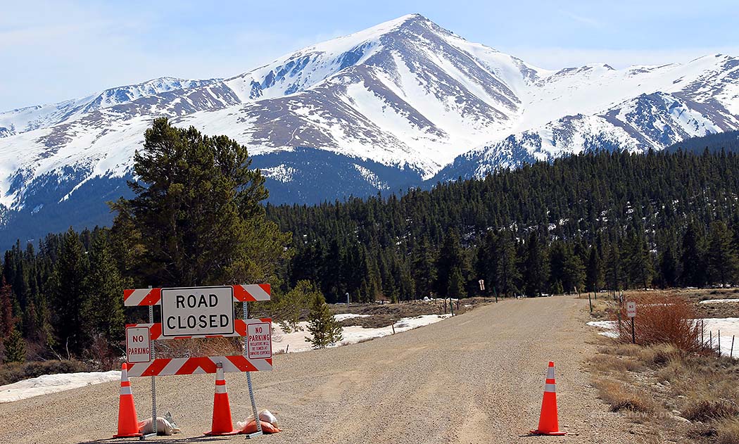
Plan A, approach via Halfmoon Creek Trailhead on Lake Country Road 11, nixed. An ongoing peeve here in Colorado is the way clueless counties simply don’t get how important these roads are to their recreation economy. They’d plowed the snow, it was perfectly drivable, but closure signs threatened towing. We gathered they’d closed it to prevent “damage” during mud season. Locals were driving it anyway. Yes, that’s Mount Elbert rising above. Click all images to enlarge.
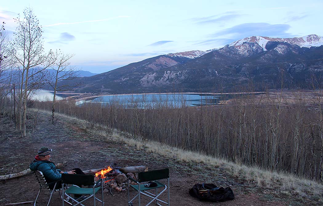
Plan B turned out to be plan A, campsite by the South Elbert Trail, not too shabby.
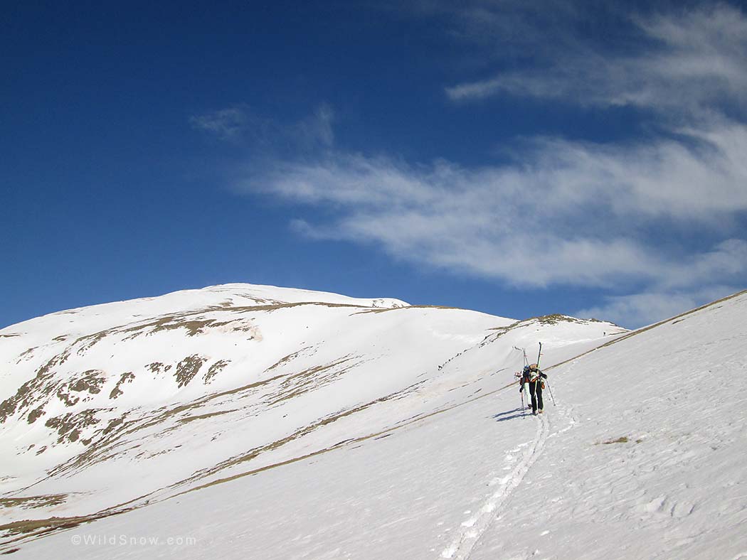
An obvious trail makes an easy start, with optimistic views of ample coverage.
Hurricane force winds kicked in at 12,500 ft., ripping the sunglasses from my face and flinging them a hundred feet.
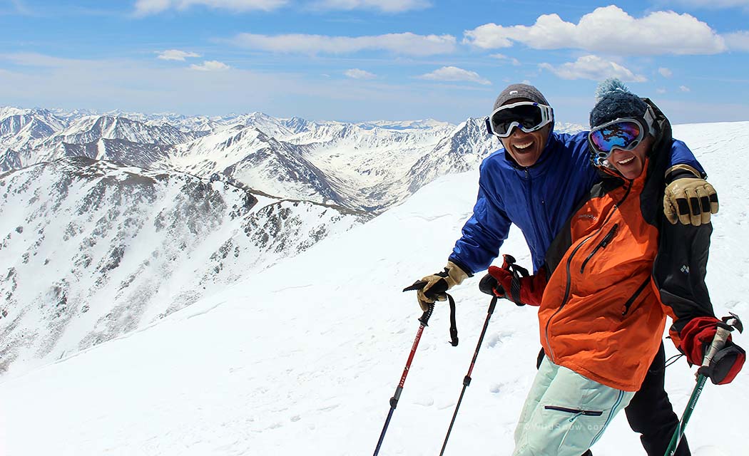
Bracing 70 mph gusts on the summit. By now we’d all been knocked over multiple times and even crawled a few feet. If the breeze had been even a hair stronger we probably would have turned around. As it was, we could move forward — ever upwards!
It’s freezing but check out my hot pink manicure. The relaxing nap in the summit sunshine was not to happen. Spring skiing? Not today.
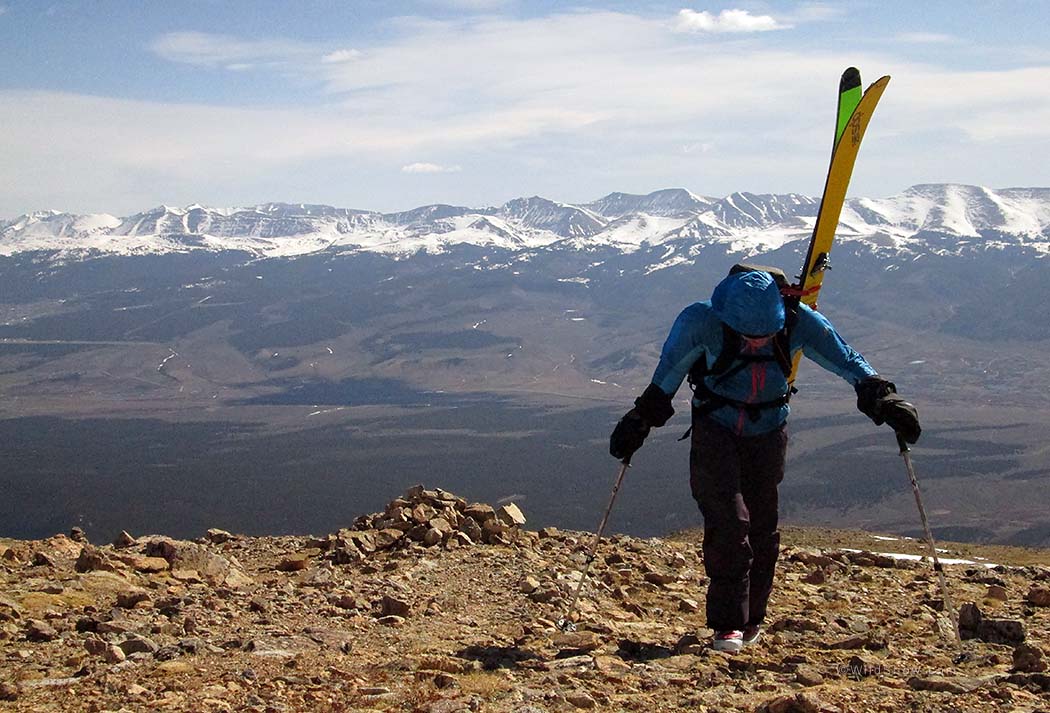
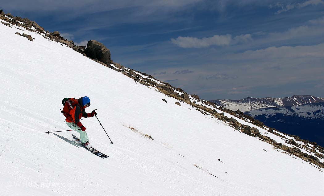
Lou exits pseudo Denali on Dynafit Denali. We knew where the better skiing was, but instead took the most immediate exit to get away from the wind. The ski down was still fun — lot’s of vertical in an aesthetic location.
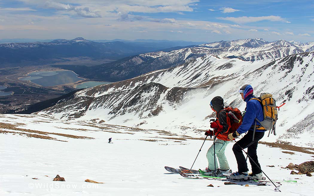
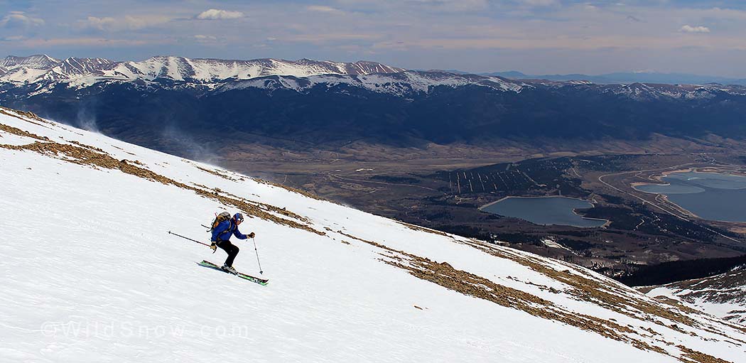
Anne, co-founder/owner of Icelantic skis, heads down on the Vanguard, handmade in Colorado. We were all being super careful as strong random wind gusts were hitting us even quite some distance below the summit. The snow was crusted over and icy in spots, so a fall could have resulted in a “slide for life — with rocks to catch you.”
Kim, CEO of SCARPA North America, follows on Trab Volare. Note the wind swirls off the ridge.
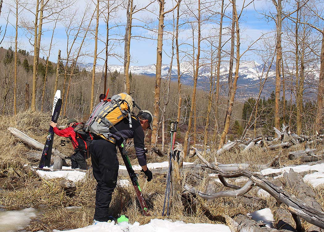
Skis off, skis on, repeat for hours. All because instead of following the obvious trail we made three extra ski turns. Lesson learned: if you take along a GPS, track your route from camp so you can easily find it if you get off route on the descent. Lou forgot to do this, understandable since the route up was so obvious. Luckily he did have a topo map on the GPS unit and we could tell exactly where we were. The trail was not marked so we got confused as to how much traversing we needed to do to re-acquire it. Anne broke out her smartphone only to find maps lacking in detail as well. We GPSed our way over to a road that was marked on the electronic map, but not before some hilarious bushwhacking. Amazingly, even though we were completely confused, we ended up heading the correct direction to get back on the trail, although we didn’t go far enough and dropped too low on our skis. It’s always interesting how the human mind works with inadequate information. Kind of a life lesson.

Despite hours of this, whistling and laughing did not give way to whimpering. Being with a jolly crew makes it all good.
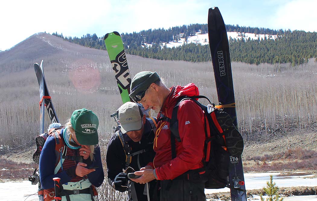
Consulting multiple electronic devices. In the end feminine intuition and a little help from a stranger led us directly to our campsite. Anne rules! Final stats: we summited in 4 hours, skied down in about 2 hours (including mode changes, photo sessions and rests) and hiked/bushwhacked out for about 6 hours.
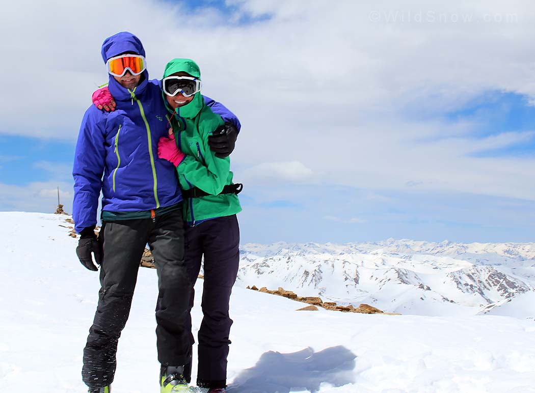
WildSnow Girl, Lisa Dawson, is the luckiest girl in the world. Also known as Mrs. WildSnow.com, she tests whatever gear she wants. She gives the WildSnow family of websites the feminine voice.