What goes into making a digital map? How do developers decide what to include and what to leave out? How can digital maps be best utilized as a tool and not a crutch?
Last week, we published an overview of first impressions using the new onX Backcountry mapping software. In the latest Totally Deep Podcast, Doug talks with crew members behind the development of the new app and gets answers to some burning questions. Charlie Avis is a product manager with onX who has been with the company for three years. Jeff Lutzenberger is the Vice President of Research and Partner Integrations with onX who specializes in software development and engineering. These guys are passionate about the technologies and applications of digital mapping software and that enthusiasm serves an undercurrent to the conversation. They’re also uber knowledgeable about the uses, potential and limitations of digital mapping software.
The episode begins with a recap of the Power of Four ski race where Doug met Charlie a few days before recording the episode. Race banter segues into backcountry banter and then dives into tech. Before long, the trio get deep into the fundamentals of digital map development and the future of backcountry navigation. They discuss the priorities of digital mapping (offline capabilities, energy usage, stable access to map features), similarities between hunting and ski touring (high planning needs), and perhaps most interestingly, the limitations of the information on the screen.
“At some point you have to ground truth whatever is showing up on the map. When you’re out there, you’re still always looking for every roll over, every terrain feature or trap that’s going to pose a potential hazard whether it’s on the map or not.”

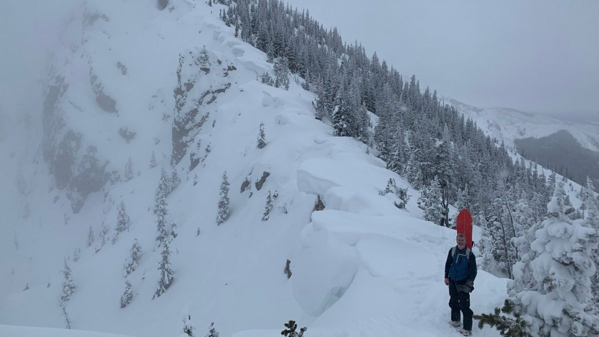
Jeff Lutzenberger, Vice President of Research and Partner Integrations at onX maps, out for a tour on his splitboard.
As for the resolution of slope angle shading “Maybe a 10 meter DEM (Digital Elevation Model) may miss roll overs but if you’re looking for a place to ski that has a general trend and you get out there and it’s this stair step of terrain traps, you’ll still have to make the decision not to ski it.”
Ultimately, says Lutzenberger, “Don’t fall into a false sense of security because a line looks good in the app. The app is a tool; it’s there to help you visualize and have better situational awareness but there’s no replacement for ground truthing.”
It’s an insightful conversation about backcountry navigation from two guys that not only develop the software but use it on the regular. Check it out.

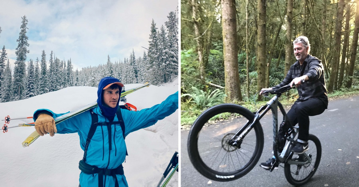
Charlie on the left, Jeff on the right. Both use the suite of onX maps regularly in their backcountry pursuits.
Like what you are hearing? Leave a comment below, tell a friend or two, and review us on iTunes.
While most of the WildSnow backcountry skiing blog posts are best attributed to a single author, some work well as done by the group.

